Krafla
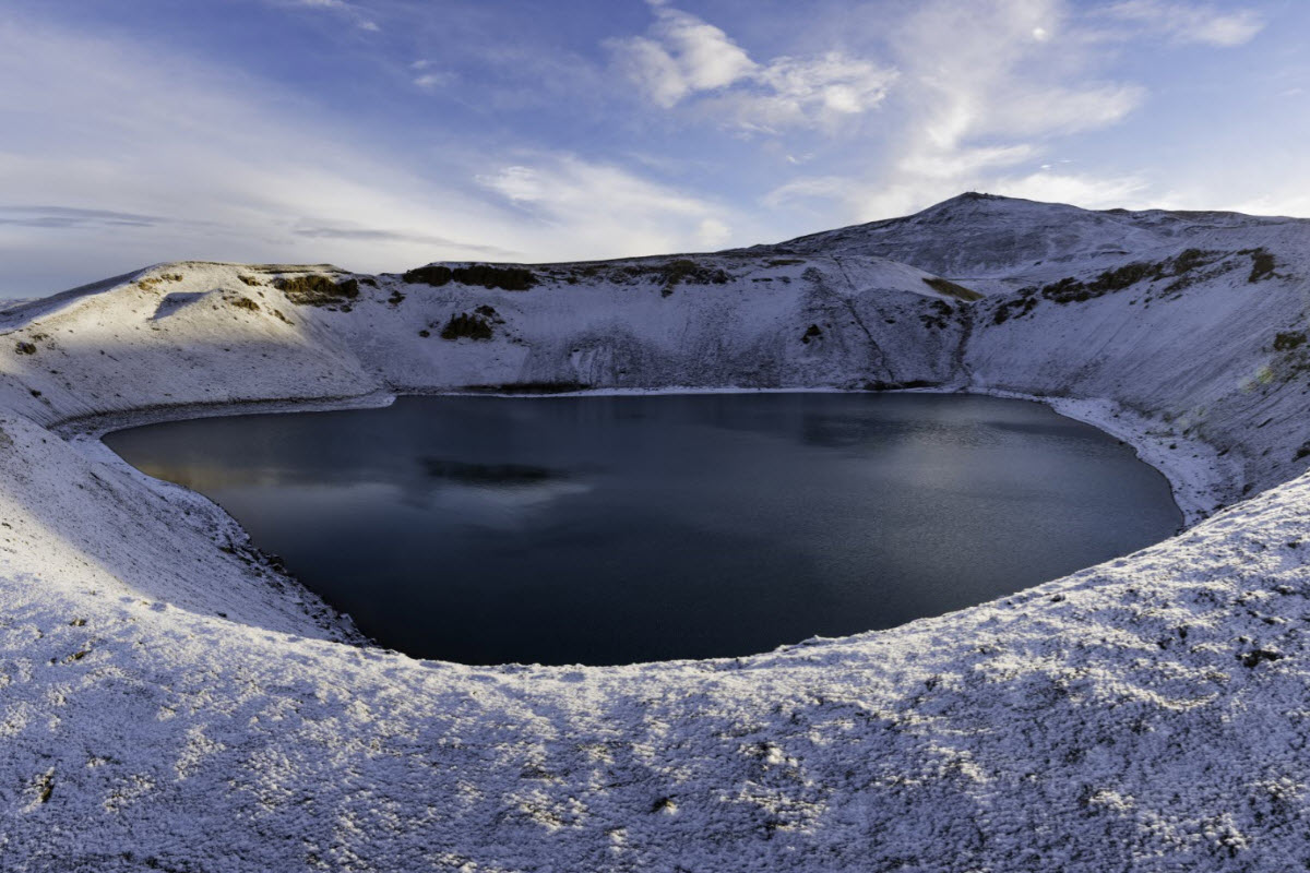
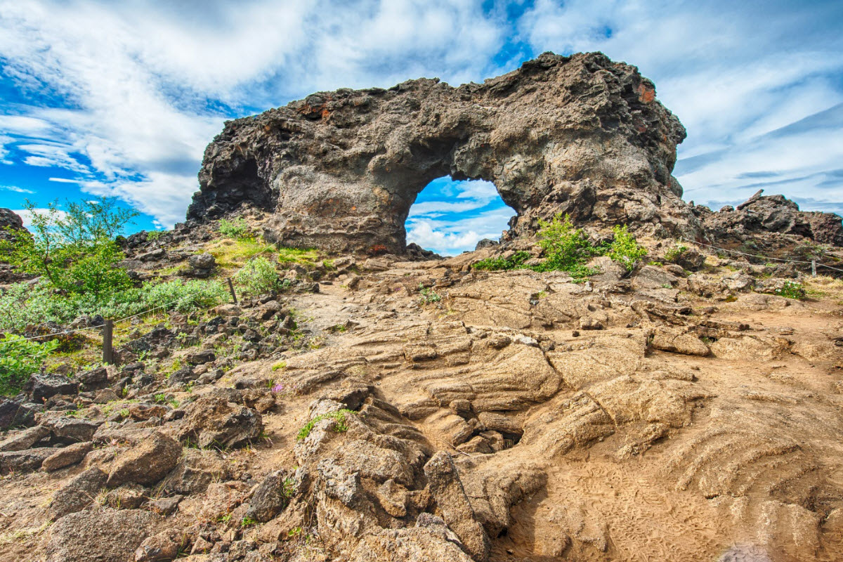
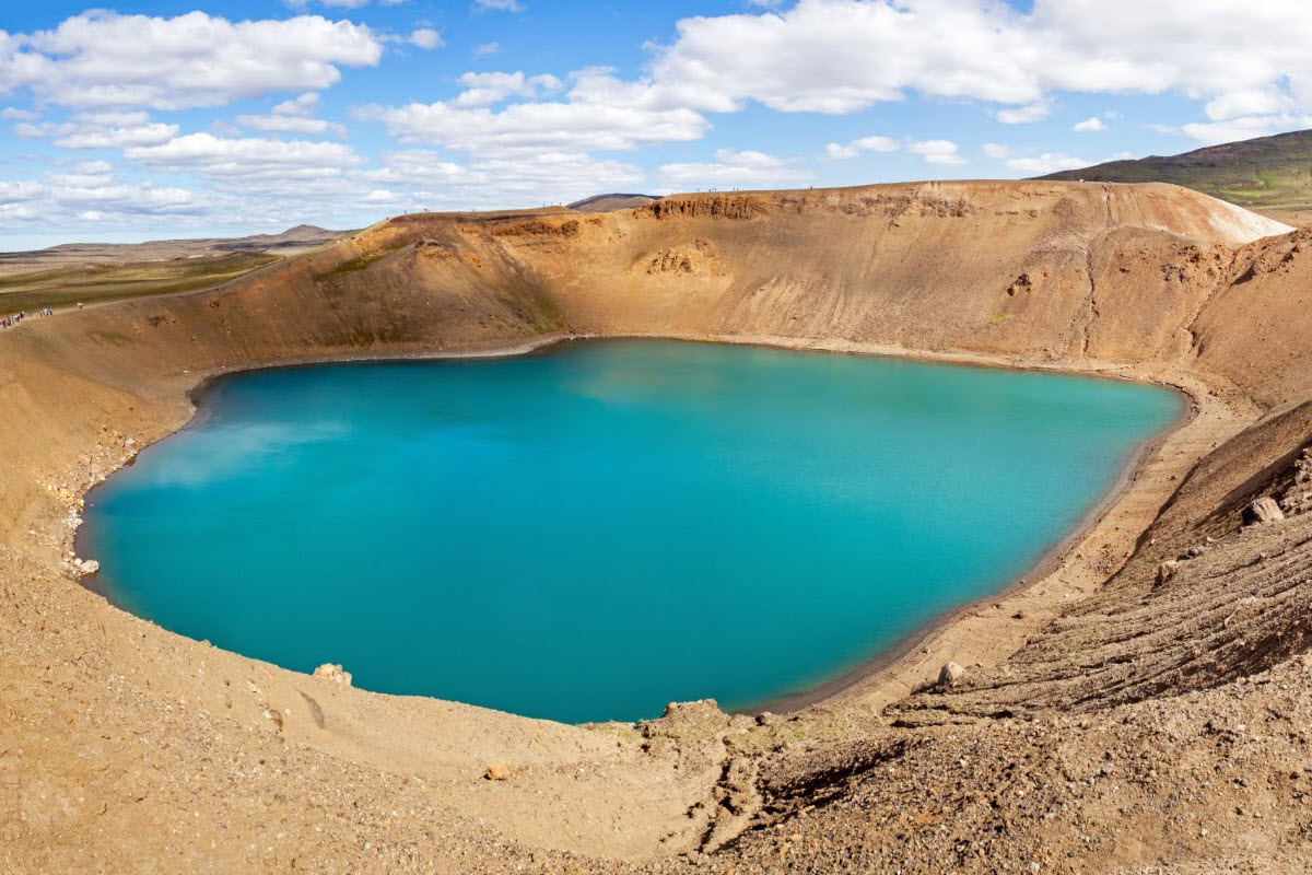
Krafla is the volcanic system east and northeast of Lake Mývatn. In the center of the Krafla volcanic system, is a large and old caldera called Víti. The volcano is located in the volcanic zone, which lies north from Vatnajökull, to Öxarfjördur fjord by the north coast of Iceland and in between the tectonic plates of Eurasia (east) and North America (west).
Plan Krafla with Myvatn route advice, volcano and geothermal context, guided tours, nearby places, coordinates and FAQ.
Quick guide to Krafla
| Location | North Iceland, northeast of Lake Myvatn |
| Best for | Volcanic landscapes, geothermal power context, Viti crater, Myvatn route planning and Diamond Circle touring |
| Nearby places | Namaskard, Bjarnarflag, Lake Myvatn, Hverfjall, Dimmuborgir and Dettifoss |
| Typical visit time | 1 to 2 hours for key viewpoints; longer if adding walks and Myvatn stops |
| Best season | Late spring to autumn is easiest; winter access depends on road and weather conditions |
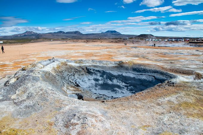
| Good to know | Geothermal areas can be unstable. Stay on marked paths and obey closures around steam, mud and hot ground. |
| Coordinates | 65.7176,-16.7546 |
Krafla, Viti and the Myvatn volcanic system
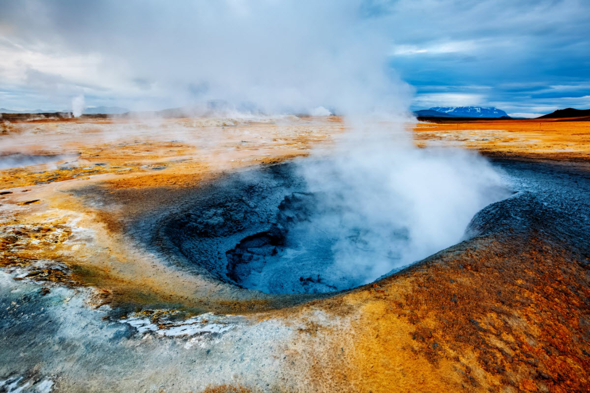
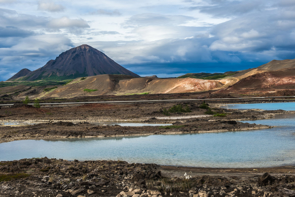
Krafla is a volcanic and geothermal area northeast of Lake Myvatn. It is associated with caldera landscapes, lava fields, the Viti crater and geothermal energy, making it one of the most varied geology stops in North Iceland.
For travellers, Krafla is valuable because it makes the region’s volcanic story visible in one area: craters, steaming ground, lava, power infrastructure and broad highland-edge views. It is more than a viewpoint; it is a route anchor for understanding Myvatn.
Krafla gives visitors a strong sense of the active volcanic and geothermal forces around Lake Myvatn.
Why Krafla is one of North Iceland’s strongest geothermal stops
Krafla pairs naturally with Namaskard, Bjarnarflag, Hverfjall, Dimmuborgir, Lake Myvatn and Dettifoss. Together these stops turn a Myvatn visit into a full volcanic landscape day.
Guided tours from Akureyri, Lake Myvatn or cruise ports can be especially useful because they connect the stops in the right order and explain what travellers are seeing, rather than treating each site as a separate photo stop.
The Krafla area is best understood as part of the wider Myvatn volcanic landscape.
How to visit Krafla
Check access before driving to Krafla, especially outside summer. Roads, wind and snow can affect the plan quickly.
Stay on marked paths around geothermal ground and do not step over ropes or signs. Steam vents, mud pots and hot ground can be dangerous even when they look quiet.
Best Krafla and Lake Myvatn tours
Krafla works best with Lake Myvatn, Namaskard, Hverfjall and Diamond Circle touring. Guided options are useful when you want the volcanic route explained and timed properly.
A practical North Iceland day for geothermal fields, lava landscapes and the Lake Myvatn area.
A shore-excursion format for travellers who want Myvatn handled within cruise timing.
A rougher-feel North Iceland route that can connect geothermal stops with waterfalls.
Best when Krafla, Dettifoss, Asbyrgi and Lake Myvatn need flexible pacing.

A private waterfall and Myvatn day for travellers who want the route planned around conditions.
A wider Diamond Circle choice when geothermal areas should be one part of a bigger North Iceland day.
Places near Krafla
Use Krafla as a volcanic anchor within the wider Lake Myvatn and Diamond Circle area.


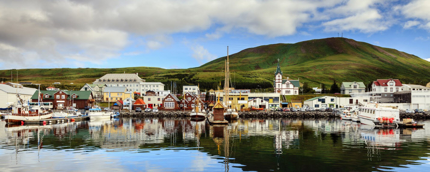
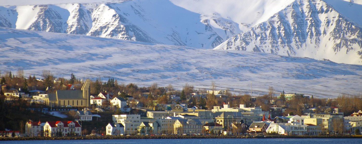
Towns and villages near Krafla
These bases work best for planning Krafla, Myvatn and Diamond Circle touring.
Suggested itinerary ideas
Krafla and Namaskard volcanic loop
Start with Krafla and Viti, continue to Namaskard, then add Hverfjall or Dimmuborgir based on weather and time.
Myvatn guided day
Choose a Lake Myvatn tour when you want Krafla explained as part of the wider volcanic landscape rather than a self-drive photo stop.
Diamond Circle extension
Add Dettifoss and Asbyrgi only when daylight and road conditions allow a longer North Iceland route.
FAQ about Krafla
Is Krafla a volcano or geothermal area?
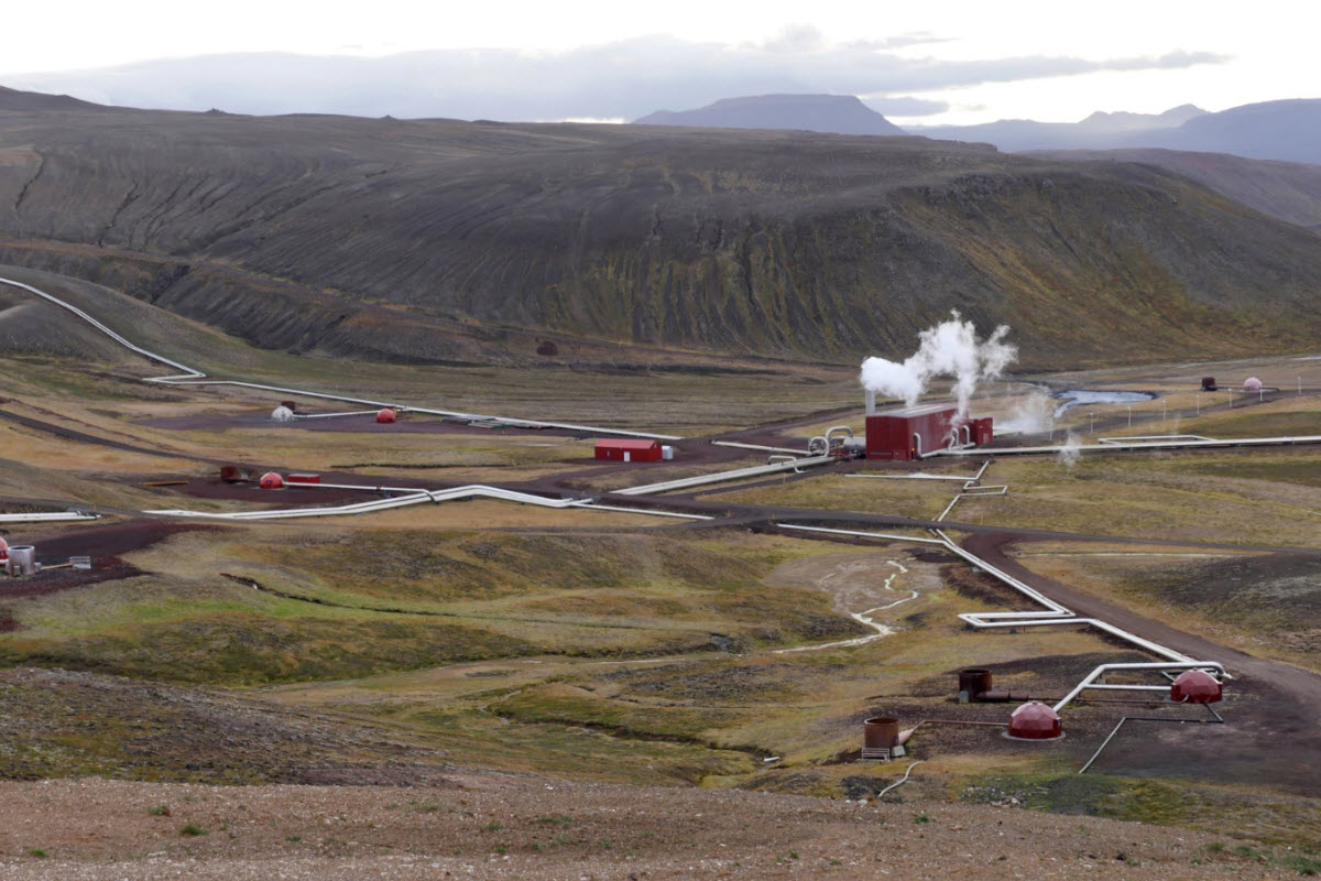
It is both. Krafla is a volcanic system with geothermal activity, lava landscapes, crater viewpoints and geothermal power infrastructure.
Is Viti crater at Krafla?
Yes. Viti is one of the best-known crater viewpoints in the Krafla area, though access can depend on season and road conditions.
Is Krafla close to Lake Myvatn?
Yes. Krafla is northeast of Lake Myvatn and is usually visited as part of a Myvatn volcanic route.
What tours work best for Krafla?
Lake Myvatn tours, private Diamond Circle tours and Akureyri shore excursions are the best practical matches. Start with Lake Myvatn tours if you want guided options.
Can you visit Krafla in winter?
Sometimes, but road, snow, wind and daylight conditions matter. Check conditions before committing to the drive.
Is Krafla safe to walk around?
Use marked paths only. Geothermal ground can be hot, thin or unstable, and closures should be taken seriously.
What should I combine with Krafla?
Combine Krafla with Namaskard, Bjarnarflag, Lake Myvatn, Hverfjall, Dimmuborgir and selected Diamond Circle stops.
How long do you need at Krafla?
Most visitors need 1 to 2 hours for the main viewpoints, or longer if walking conditions are good and the route is not rushed.
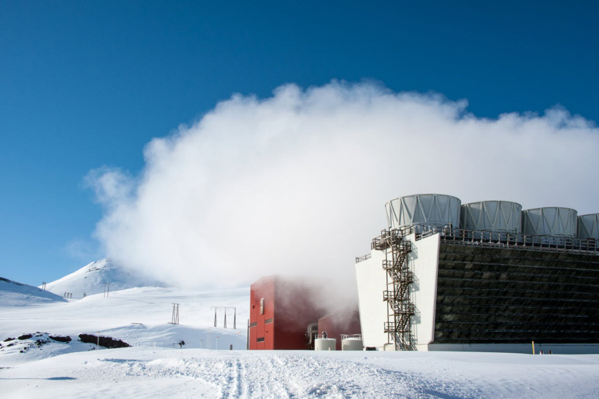
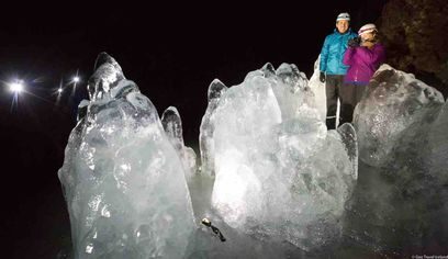
The caldera by Krafla during winter
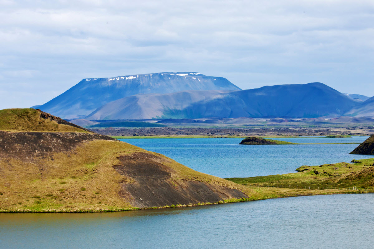
Krafla Caldera in North Iceland
Krafla volcanic system
Krafla Power Plant
Krafla Power Plant in Iceland