Þjórsárhraun Lava Field
Þjórsárhraun Lava Field is one of Iceland’s quiet giants. It does not behave like a single postcard stop, yet it is one of the most important lava landscapes in South Iceland: a huge post-ice-age lava flow that travelled from the interior toward the lowlands, river plains and south coast.
Use this guide to understand why Þjórsárhraun matters, where the lava came from, how it followed the Þjórsá, Hvítá and Ölfusá river systems, why it is still visible across the lowlands, and how to connect it with Golden Circle tours, Þjórsárdalur waterfalls, Hekla, Kerið, Selfoss, Eyrarbakki and Stokkseyri.
Quick guide to Þjórsárhraun Lava Field
| Location | South Iceland lowlands, between Þjórsá, Hvítá, Ölfusá and the coast near Eyrarbakki and Stokkseyri |
| Best for | Understanding one of the world’s largest post-ice-age lava flows, South Iceland route planning, Þjórsárdalur, river landscapes and geology context |
| Nearby places | Hjálparfoss, Háifoss, Hekla, Kerið, Selfoss, Eyrarbakki and Stokkseyri |
| Typical visit time | 15 to 45 minutes for a route-context stop; half a day or full day if combining Þjórsárdalur, Hekla or the coast |
| Best season | Year round for lowland route context; summer and early autumn are easiest for Þjórsárdalur and highland-edge additions |
| Good to know | Þjórsárhraun is a broad lava-field landscape, not one single fenced viewpoint. Use legal roads and pull-offs, respect farmland and check conditions for any highland-edge route. |
| Coordinates | 63.835106545044034,-20.99059390146145 |
Why Þjórsárhraun matters
Þjórsárhraun is not the kind of lava field that announces itself with one perfect viewpoint, one crater rim and one visitor-centre sign. Its importance is scale. The lava spread through a huge part of South Iceland after an eruption in the Veiðivötn area, near the interior volcanic systems connected with the highlands. From there, the lava travelled roughly 130 kilometres toward the south coast.
That distance is what makes Þjórsárhraun special for travellers. It explains why South Iceland can feel like a wide open agricultural landscape and still be deeply volcanic. The lava is part of the ground beneath roads, farms, rivers, coastal villages and route decisions. You may cross the story without realising it, which is exactly why a good guide helps.
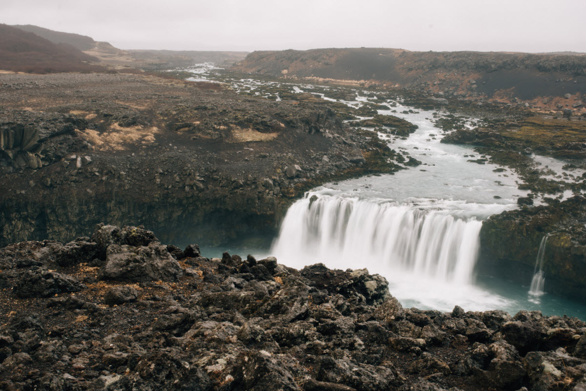
Þjórsárhraun is best understood as a broad South Iceland landscape rather than a single marked stop.
The eruption and scale
Existing local descriptions place the source of Þjórsárhraun around the Veiðivötn area in the highlands, far inland from the coast. The eruption happened long after the last ice age, roughly 8,600 years ago, and produced one of the largest known lava flows on Earth from that period.
The numbers are difficult to feel from a car. A lava field of around 970 square kilometres is not something you can understand by standing in one place. It is more like a geological layer across a region. The volume, often described as at least 26 cubic kilometres, helps explain how the lava could travel through river paths and reach the coastal lowlands.
Compared with younger, rougher and more dramatic lava fields on Reykjanes, Þjórsárhraun feels quieter. Much of it has been softened by time, soil, vegetation, settlement and farming. That older surface is part of the story: the field is ancient enough to be lived on, crossed and partly hidden, but still important enough to shape the route.
Do not judge Þjórsárhraun by whether it has one spectacular parking-lot view. Its value is route understanding: it connects the interior highlands, the Þjórsá river system, the Golden Circle fringe, the South Coast villages and the lowland landscape around Selfoss.
Rivers, coast and hidden lava
Þjórsárhraun flowed along and near the path of major rivers. Older Fun Iceland text describes the lava moving down the Þjórsá river path in the east and along the Hvítá and Ölfusá river systems in the west, all the way toward the coastline by Eyrarbakki and Stokkseyri. That river connection is one of the most useful ways to understand the lava field.
Rivers are natural corridors. Lava that finds low ground can follow valleys, channels and plains. In the case of Þjórsárhraun, the result is a lava story that reaches beyond the highlands into the inhabited south. The same area now contains roads, farms, villages and service towns that travellers use every day.
There is also a coastal story. Local descriptions note that the lava can be seen outside the present coastline, and that sea level was believed to have been lower at the time of formation. This helps explain why Eyrarbakki and Stokkseyri belong naturally in the page: they are not just convenient villages; they sit close to the lowland and coastal end of the lava-field story.
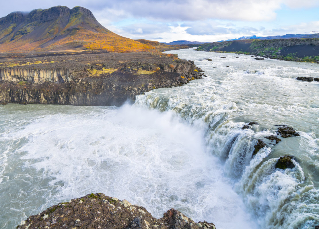
The Þjórsá river system gives the lava field its strongest route logic for travellers.
How to visit Þjórsárhraun
The best way to visit Þjórsárhraun is to think like a route planner, not like a checklist traveller. If you are driving the Golden Circle or South Iceland lowlands, use the page to understand what you are crossing. If you have more time, connect the lava story with Þjórsárdalur, Hjálparfoss, Háifoss, Gjáin, Hekla and Kerið.
There is no need to search for one perfect “Þjórsárhraun entrance.” The lava field is broad, partly hidden and tied to working farmland and local roads. Use proper roads and legal pull-offs. Do not enter private land for a photo, and do not stop unsafely on road shoulders.
For most visitors, the strongest practical plans are either a Golden Circle and lowland route from Reykjavík, a Þjórsárdalur waterfall day, or a highland-edge tour that brings Hekla and Landmannalaugar into the same volcanic story. In winter, keep the plan lower and simpler unless road conditions are clearly suitable.
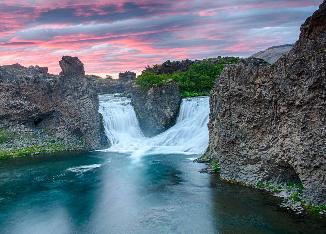
Hjálparfoss is one of the easiest ways to make the Þjórsárhraun story visible as a travel day.
Golden Circle and South Iceland tours
Use these when Þjórsárhraun is part of a broader South Iceland lowland day. They are especially useful for travellers who want Reykjavík departures, classic stops and a route that can include Kerið, Selfoss, Geysir or the Þjórsá region as context.
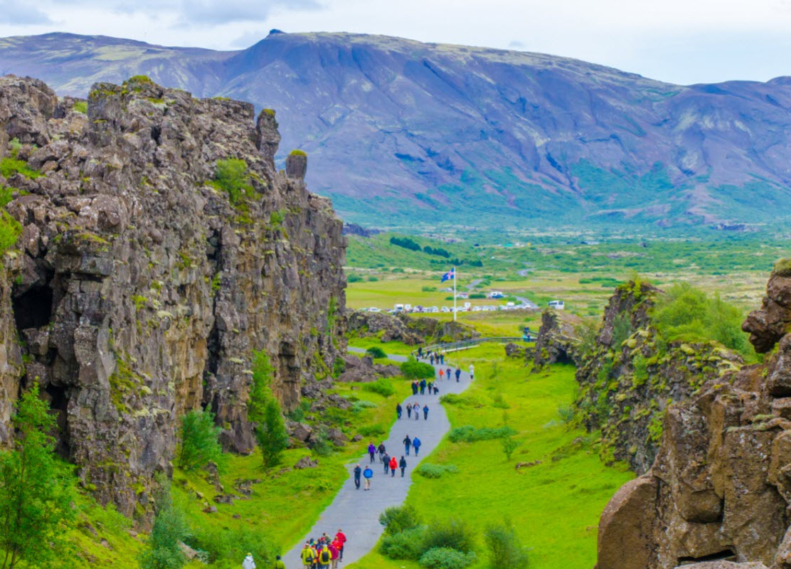
The easiest guided introduction to the South Iceland lowlands, Thingvellir, Geysir and Gullfoss in one day.
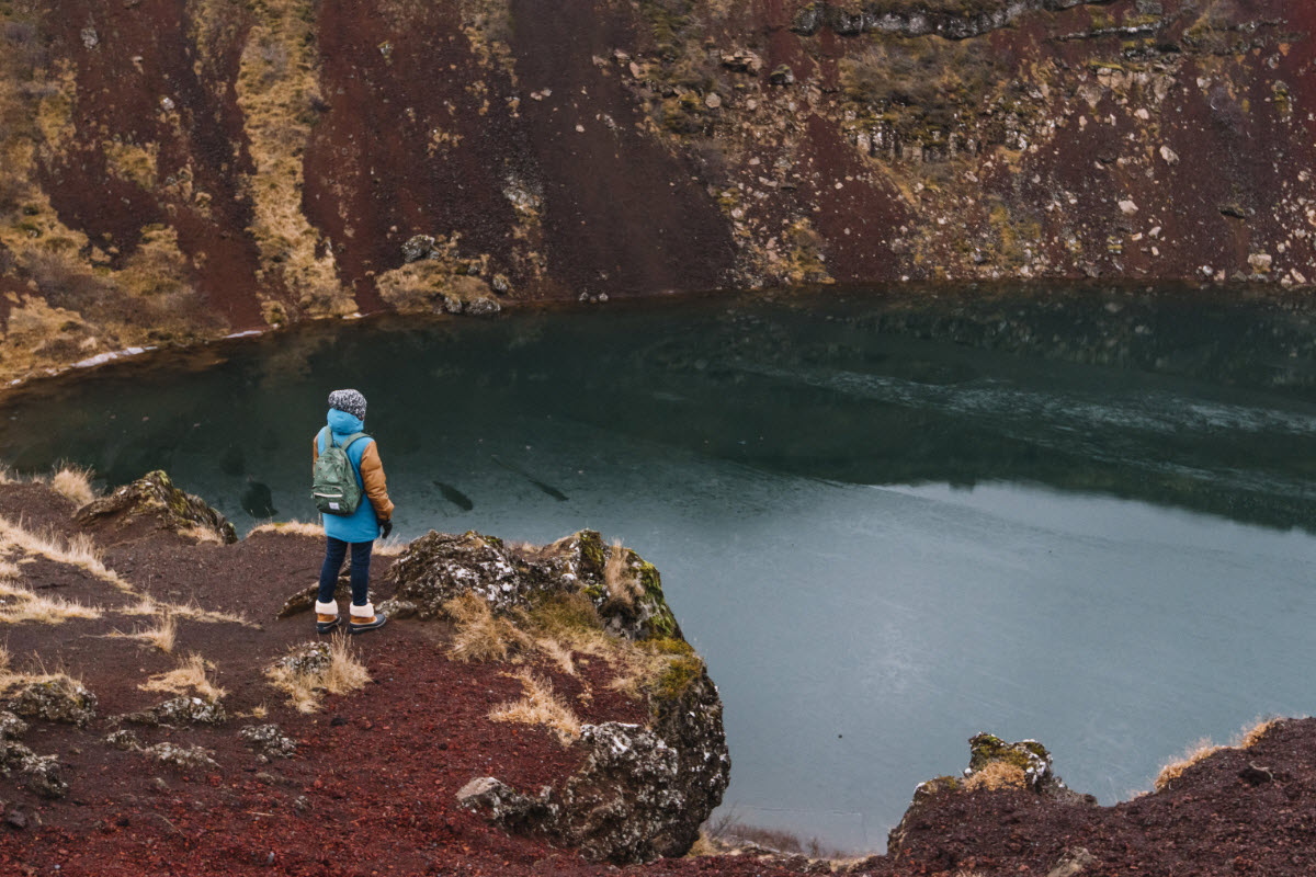
A strong route when Þjórsárhraun context should sit with crater scenery, bathing and classic Golden Circle stops.
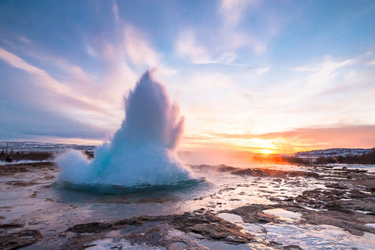
A food-and-geology day that keeps the lowland lava-field story close to the main South Iceland route.
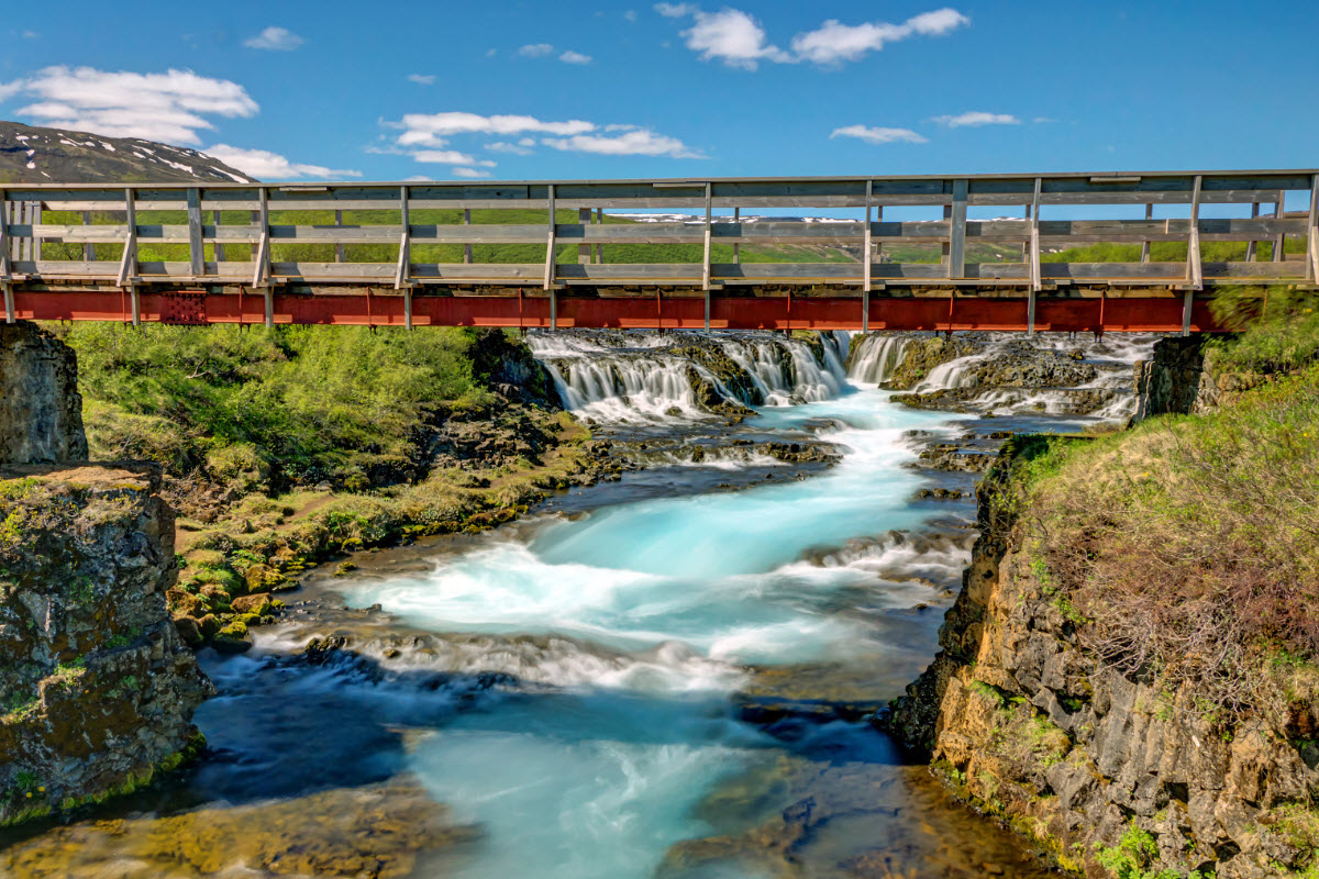
Best when you want flexible timing for Kerid, Selfoss, Þjórsá, coastal villages or extra geology stops.
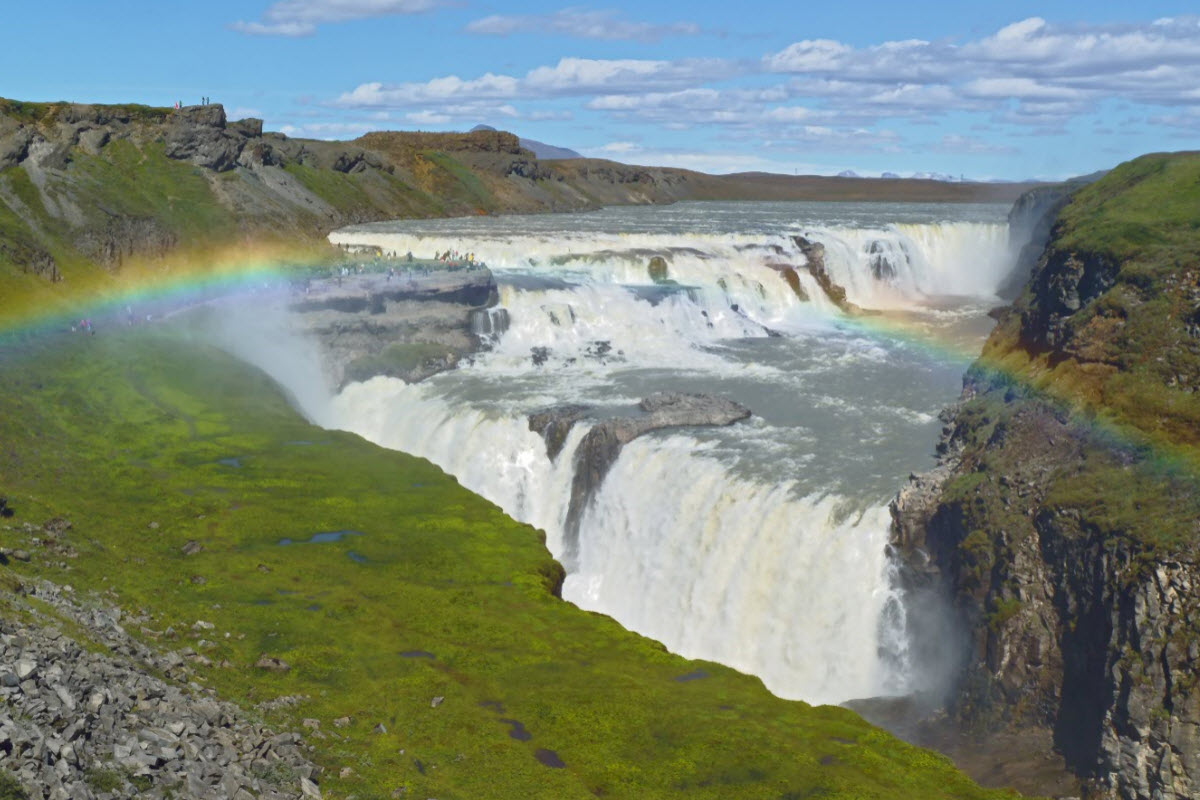
A stronger adventure format if the classic route should feel more connected to volcanic South Iceland.
Þjórsárdalur, Hekla and highland-edge tours
These are the stronger options when the lava-field story should lead toward waterfalls, highland colours, Hekla views, Landmannalaugar or Þjórsárdalur. They work better than trying to make Þjórsárhraun a standalone product.
Compare Iceland highland tours
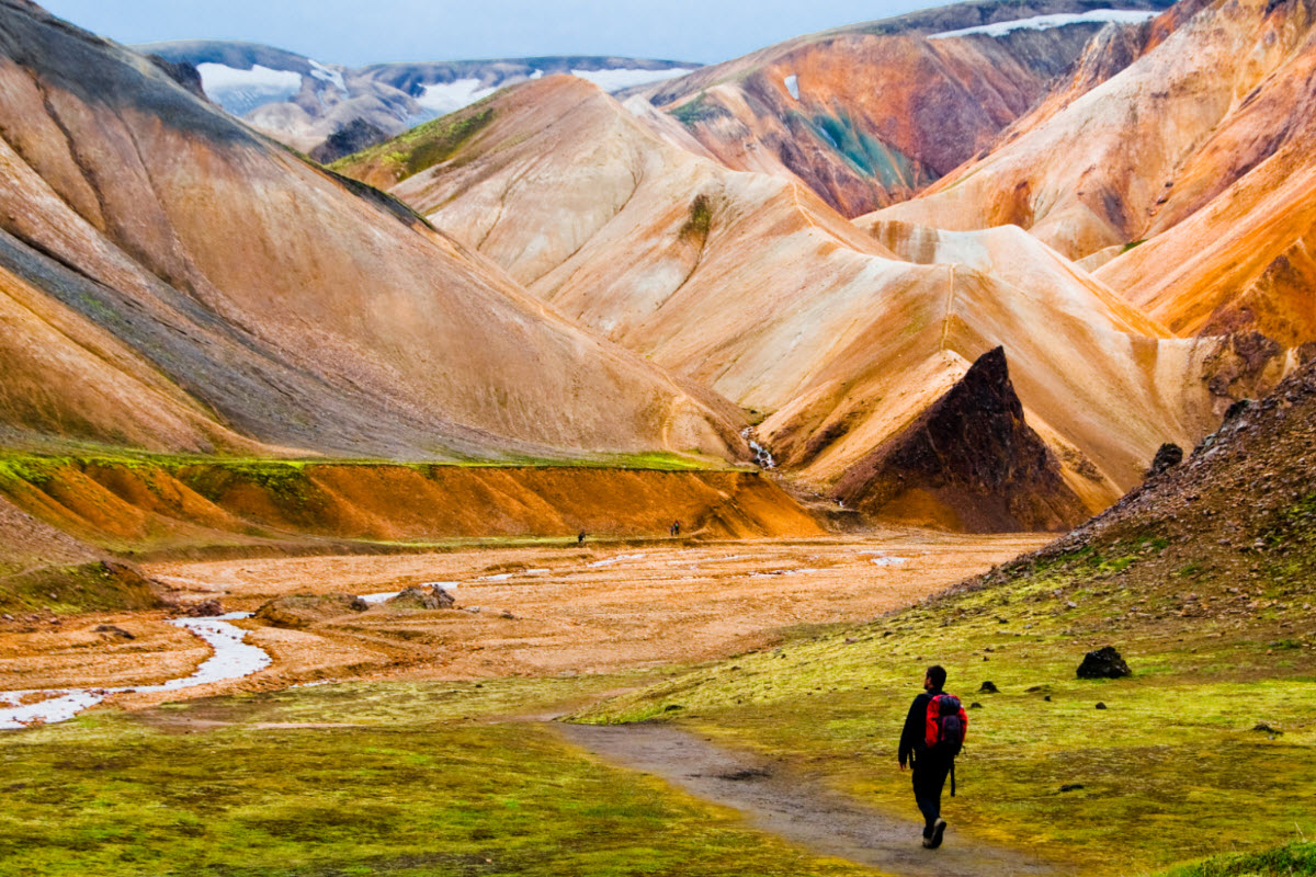
A highland route that explains why the Þjórsá lowlands and interior volcanic country belong together.
A private highland-style route through the volcanic country above Þjórsárdalur and the South Iceland lowlands.
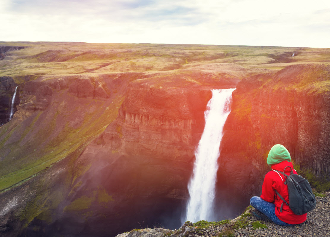
A focused guided Háifoss experience for travellers who want the Þjórsárdalur side of the story.
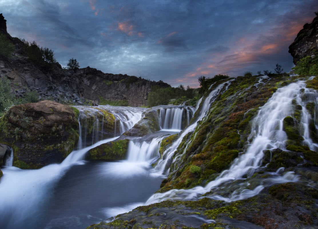
A practical Þjórsárdalur route for waterfalls, valley scenery and highland-edge context.
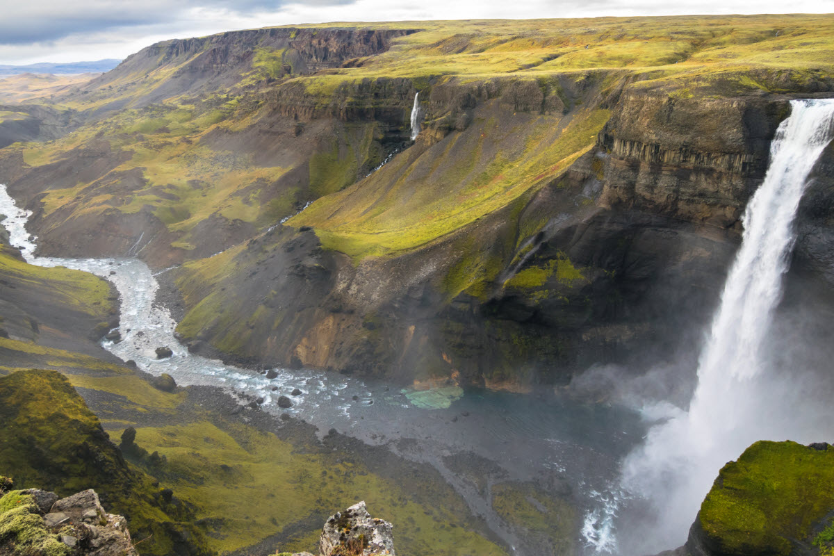
Best when you want a flexible private day around the dramatic highland-edge landscape above the lava lowlands.
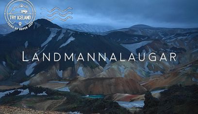
A colourful, sales-friendly combination of rhyolite mountains, high waterfalls and geothermal bathing.
Places near Þjórsárhraun
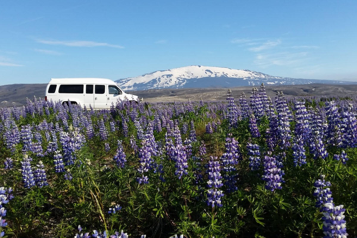
Use Þjórsárhraun as a route layer connecting nearby nature stops rather than a disconnected dot on the map.
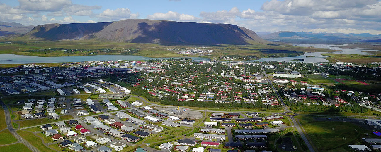
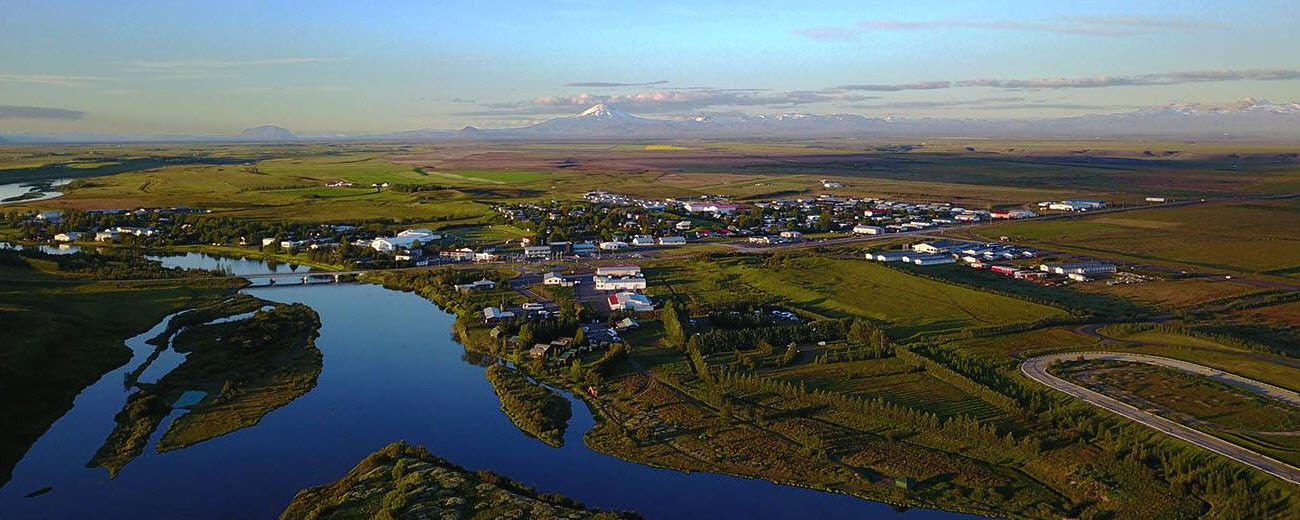
Towns and villages near Þjórsárhraun
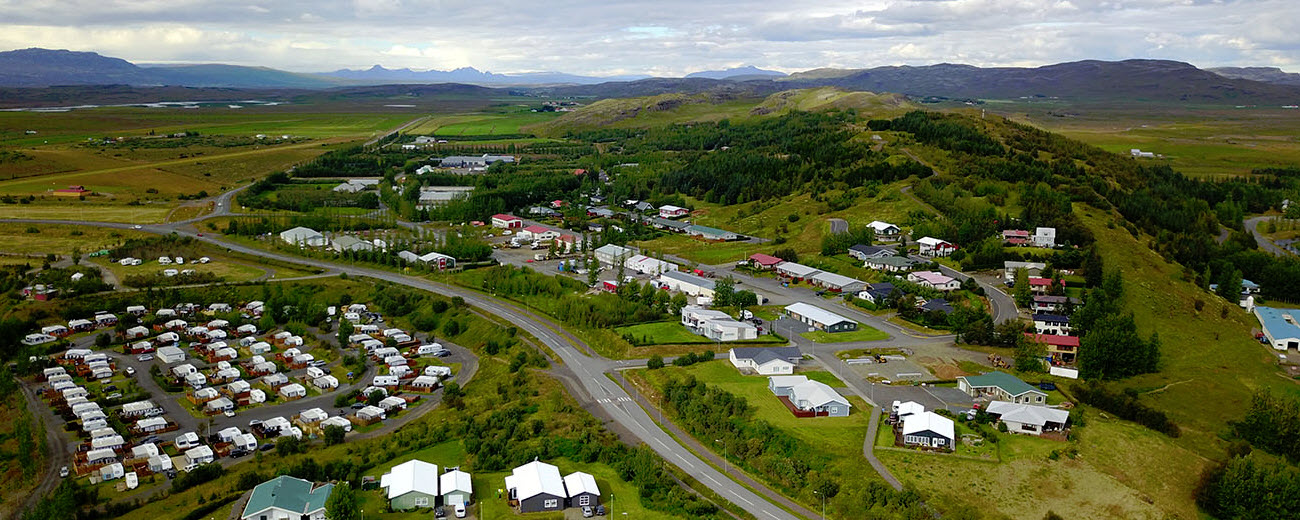
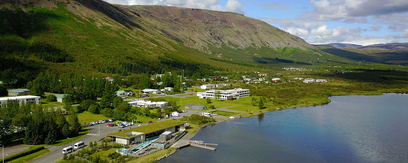
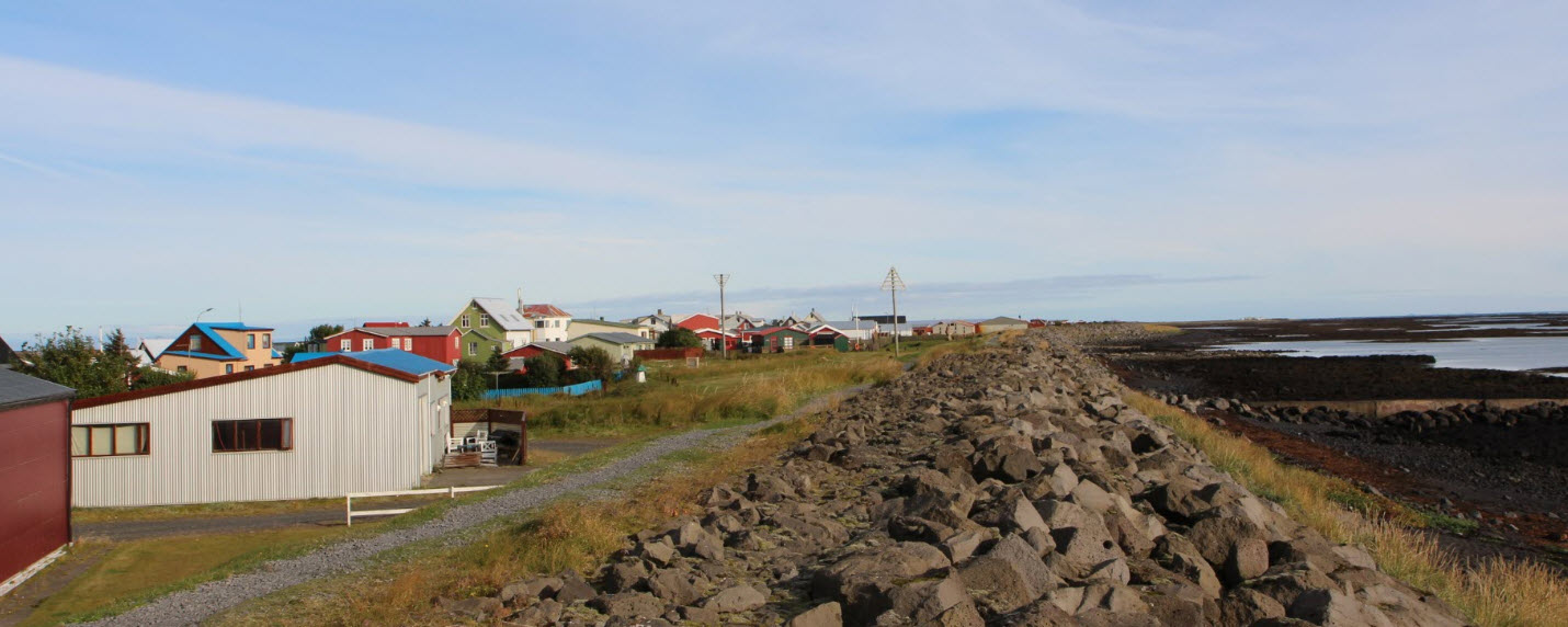
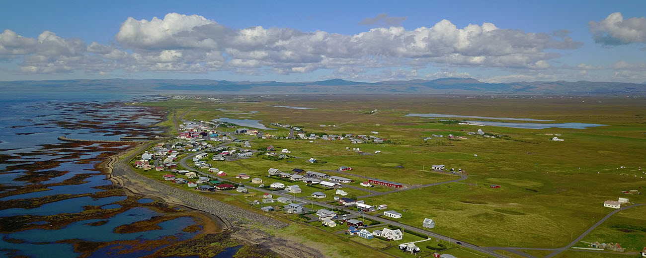
These are the most practical bases and service stops for planning the lowland, coastal and Þjórsárdalur parts of the route.
Suggested Þjórsárhraun itinerary ideas
Quick lowland geology stop
Use Selfoss as the service base, read the lava-field context before crossing the lowlands, then continue toward Eyrarbakki and Stokkseyri if you want the coastal end of the story.
Golden Circle plus lava context
Add Kerið and Selfoss to a classic Golden Circle route. This works well for travellers who want Þingvellir, Geysir and Gullfoss, but also want to understand why the southern lowlands are volcanic too.
Þjórsárdalur waterfall day
Build the day around Hjálparfoss, Háifoss, Gjáin and Stöng. Choose a Háifoss and Þjórsárdalur tour if you want the route handled for you.
Hekla and Landmannalaugar extension
Use Landmannalaugar Super Jeep Day Tour or Hekla and Landmannalaugar when the day should connect lowland lava, highland roads, colourful rhyolite and Hekla views.
Coastal village ending
Finish the route in Eyrarbakki or Stokkseyri for a quieter South Coast ending. It gives the lava-field story a human scale: old villages, sea air, lowland farms and the coastline where the lava reached the ocean area.
FAQ about Þjórsárhraun Lava Field
Is Þjórsárhraun worth visiting?
Yes, if you enjoy geology, route context and quieter South Iceland landscapes. It is not a single dramatic viewpoint like a waterfall, but it is one of the most important lava fields in Icelandic route planning.
What is Þjórsárhraun?
Þjórsárhraun is a huge lava field in South Iceland. It formed about 8,600 years ago and spread from the interior toward the lowlands and coastline, following major river systems such as Þjórsá, Hvítá and Ölfusá.
How big is Þjórsárhraun?
Older local descriptions commonly cite an area of around 970 square kilometres and a volume of at least around 26 cubic kilometres. That scale makes it one of the largest known lava fields to have flowed on Earth since the last ice age.
Where did the Þjórsárhraun lava come from?
The lava is described as coming from the Veiðivötn area in the highlands, far inland from the south coast. It then travelled roughly 130 kilometres toward the coastal lowlands.
Can you see Þjórsárhraun from the road?
Yes, in many places between Þjórsá and Ölfusá, but it is often broad and subtle rather than obvious. The best approach is to understand the route before driving through it, especially around Selfoss, Þjórsá, Flói, Eyrarbakki and Stokkseyri.
Is there one main Þjórsárhraun viewpoint?
No. Þjórsárhraun is better understood as a regional lava-field landscape than a single viewpoint. Use legal pull-offs, marked stops and nearby route anchors such as Kerið, Hjálparfoss, Háifoss and Þjórsárdalur.
What tours work best with Þjórsárhraun?
Good options depend on the kind of day you want:
- Golden Circle Minibus Tour from Reykjavik for a simple lowland and classic-sights day.
- Private Golden Circle Tour from Reykjavik if you want time for extra route context and detours.
- Landmannalaugar Super Jeep Day Tour when the lava-field story should extend toward the highlands.
- Haifoss Waterfall Adventure Hike for travellers focused on Þjórsárdalur waterfalls.
Is Þjórsárhraun close to the Golden Circle?
Yes, it connects naturally with the southern edge of Golden Circle planning, especially when you add Kerið, Selfoss, Flúðir, Geysir or Þjórsárdalur to the day.
Is Þjórsárhraun near Selfoss?
Yes. Selfoss is one of the most useful service towns for the lowland side of the lava field, and it works well for travellers coming from Reykjavík.
Why are Eyrarbakki and Stokkseyri relevant?
They sit near the coastal end of the story. Local descriptions explain that the lava reached the coastline near Eyrarbakki and Stokkseyri, and that lava can even be traced beyond the present coast.
What should I combine with Þjórsárhraun?
Strong combinations include Hjálparfoss, Háifoss, Gjáin, Hekla, Kerið, Selfoss, Eyrarbakki and Stokkseyri.
Do you need a 4x4 for Þjórsárhraun?
Not for the lowland roads and towns. You may need a more capable vehicle or guided tour if your plan continues toward rougher highland-edge routes, depending on season, roads and exact itinerary.
Can you visit Þjórsárhraun in winter?
Yes, the lowland context can be visited year round, but winter daylight, ice and weather can affect detours. Keep the plan conservative if continuing toward Þjórsárdalur, Háifoss, Hekla or Landmannalaugar-style routes.
Is Þjórsárhraun the same as Þjórsárdalur?
No. Þjórsárhraun is the large lava field and lowland lava story. Þjórsárdalur is a valley area with attractions such as Hjálparfoss, Gjáin, Stöng and access toward highland-edge scenery. They work well together in one route.
Is Þjórsárhraun good for photography?
Yes, but in a different way from a waterfall or glacier lagoon. Look for river landscapes, lowland textures, distant volcanoes, coastal villages and the contrast between old lava and farmland. Use safe pull-offs only.
How long should I spend there?
If you are only crossing the lowlands, 15 to 45 minutes of reading and route awareness may be enough. If you add Þjórsárdalur, Hekla, Kerið or the coast, plan a half day to a full day.
Why is Þjórsárhraun important for SEO and trip planning?
Because it explains a huge part of the landscape visitors are already crossing. A traveller may search for lava fields, South Iceland geology, Þjórsá, Selfoss route ideas or Golden Circle extensions, and Þjórsárhraun connects those searches into one useful travel page.