Fimmvörðuháls Hiking Trail
Fimmvörðuháls is the area between Eyjafjallajökull and Mýrdalsjökull and one of the most popular hiking trail in Iceland that starts at Skógarfoss and ends in Þórsmörk. The hike is about 25km long and involves 1000m of climbing. It can be challenging and even dangerous because the weather in the highlands can change very suddenly, from being sunny and nice to a bad storm, so everyone doing this hike should be prepared for that.
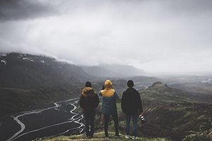
The main reason for this hike being so popular is the landscape on the way, it is exceptionally beautiful with all the waterfalls, canyons and glaciers in the background, it is a real treat for the eye and the camera to of course.
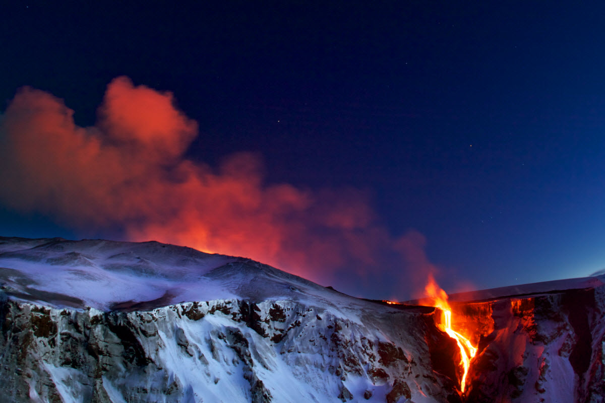
In 2010 a small eruption happened in Fimmvörðuháls right before the big eruption in Eyjafjallajökull the one that caused the cancellation of the flights all over Europe. In this eruption new craters formed and are called Magni and Móði, this hike passes right through them and it is still possible to see the steam and the heat coming from the lava that was also formed in the same eruption.
Usually the hike only takes one day but for those who would like more time to explore you can do it in 2 days and spend one night in the mountain hut located there.
The trail is only available in the summer months.
Be Prepared
It is important when in Iceland specially in the highlands to be well prepared.
- The hike requires good physical conditions and the right equipment's including good hiking shoes, walking sticks, good backpack, food and water and clothing for all kinds of weather.
- The weather in Iceland can change very fast so the weather forecast should always be checked before.
- Mountain huts on the way needs to be booked in advance but not the camping area.
We recommend booking a tour for this hike with a guide.
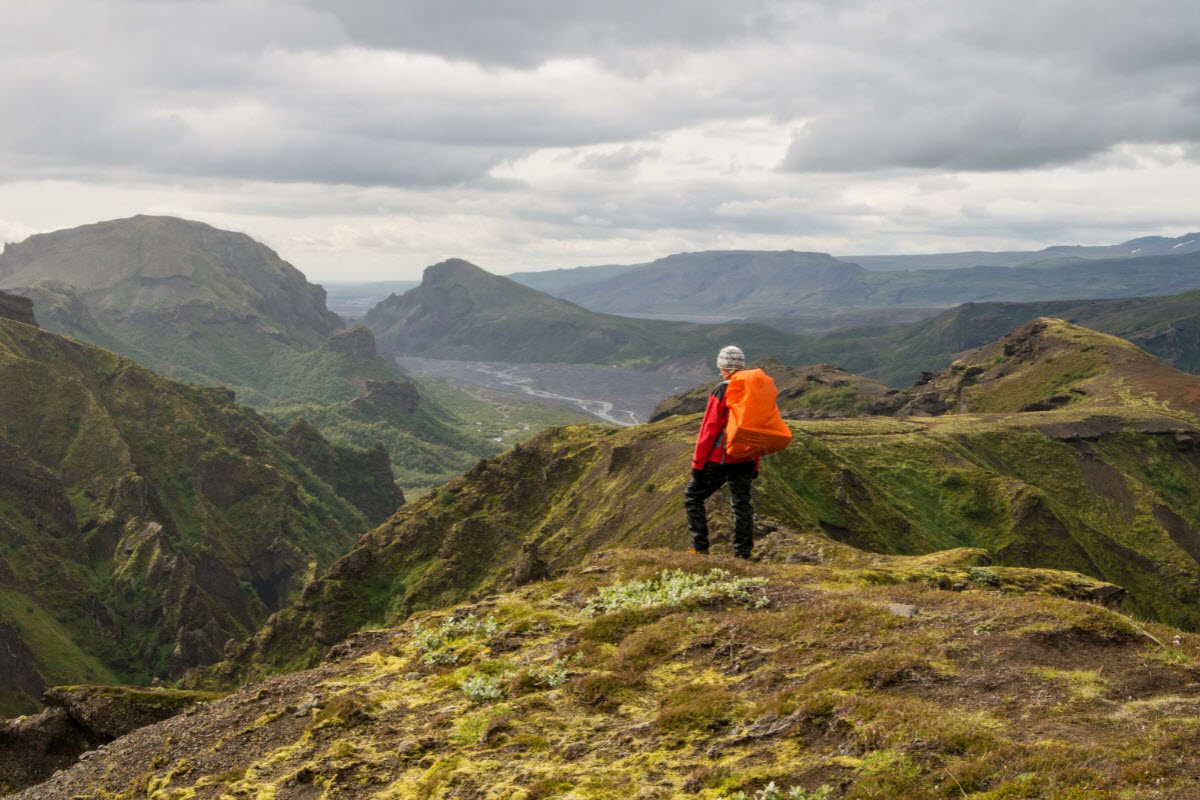
The views on the Fimmvorduhals hiking trail in the highlands of Iceland
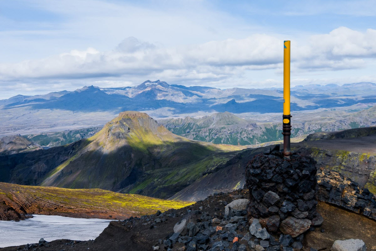
The view from Fimmvorduhals between the Eyjafjallajokull glacier and Myrdalsjokull glacier
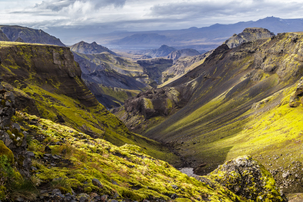
Mountains with moss covered mountains sides on the Fimmvorduhals trek
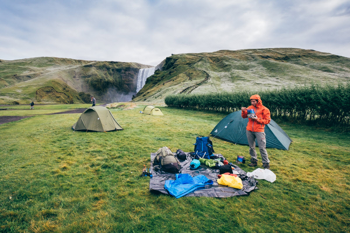
Camping at Skogar the beginning of Fimmvorduhals trek
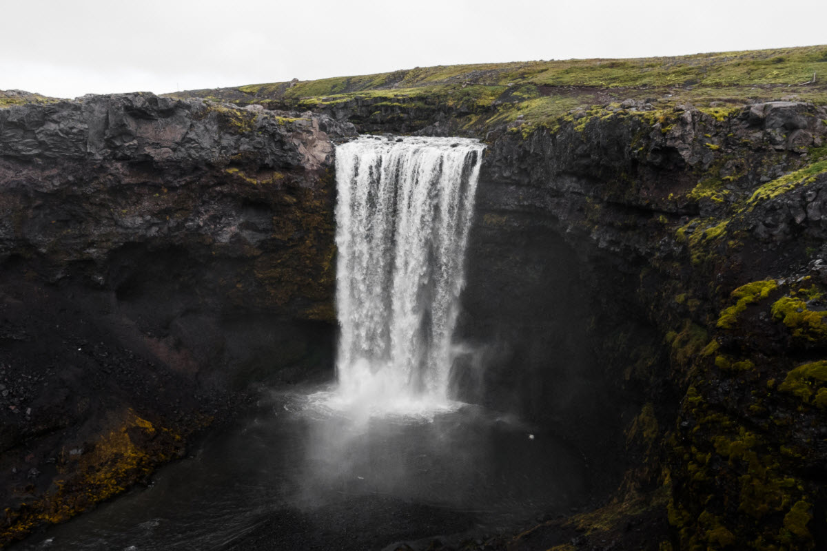
There are many waterfalls on the way on the Fimmvorduhals hiking trail
The eruption at Fimmvorduhals in 2010
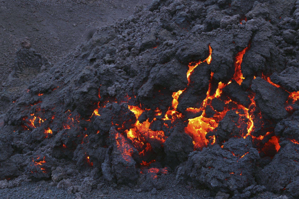
Volcanic lava at the Fimmvorduhals from the eruption in 2010
Fimmvörðuháls 63°37′52.86″N, 19°26′50.1″W
Available in the summer
Tours available
Bus available daily from Reykjavik to Þórsmörk
Difficulty: Challenging
Length: 25 km
Hiking time: About 9-12 hours
Elevation: 1,050 m
Book Your Adventure
Guided Iceland hike with fresh air, wide views and a more active way to experience the landscape.