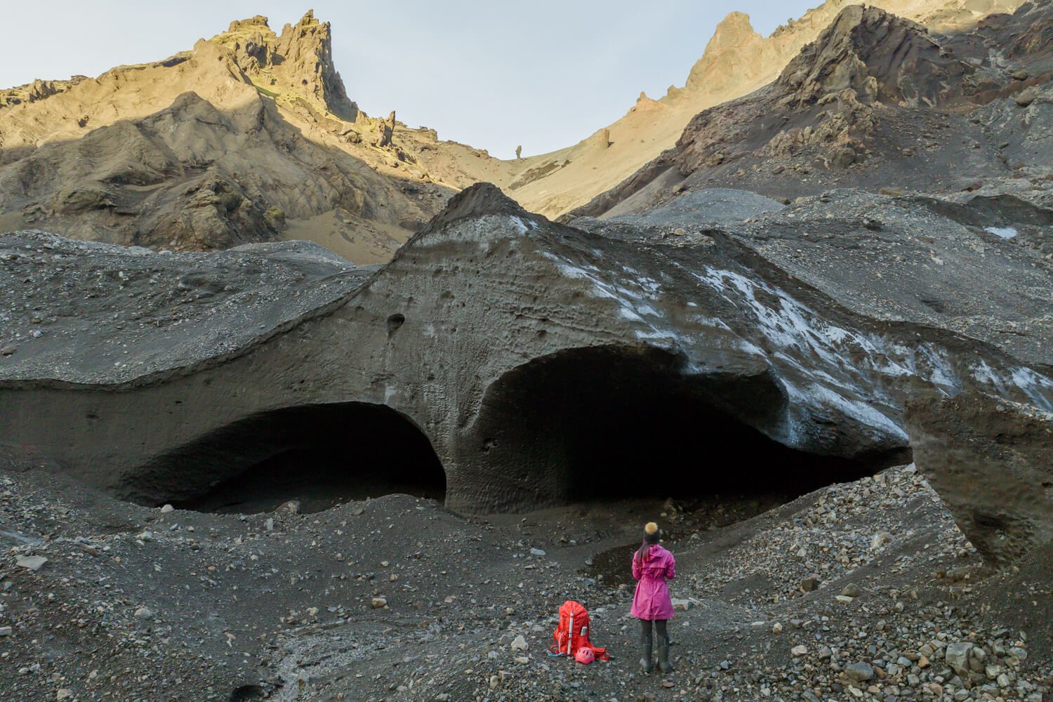
Description
Venture into the wild heart of Þórsmörk, where glacier-fed rivers, deep green valleys and rugged mountain ridges create one of Iceland’s most captivating highland landscapes.
The road itself becomes part of the adventure, revealing dramatic viewpoints and a secluded world shaped by glaciers and volcanoes. A private format adds a comfortable pace, personal attention and room to enjoy the views without rushing from one highlight to the next.
Guests receive training, take part in measurements and later receive the processed mission results and ongoing updates. The exact glacier task can change when safety or research priorities require it.
Itinerary
N1 Hvolsvöllur
Field-team meeting
Meet the guide and check personal equipment before departure.
Þórsmörk 4x4 route
River-crossed highlands
Travel through the valley towards the selected glacier approach.
Safety & research training
Citizen-science preparation
Learn the mapping method and supplied equipment.
Krossárjökull approach
Moderate glacier-margin trek
Reach the field site through terrain chosen for current conditions.
Mapping mission
Hands-on data collection
Measure and document the changing glacier edge.
Return to Hvolsvöllur
Results after the expedition
Receive a certificate; processed findings and updates follow by email.
What is included
- Private full-day guided expedition
- 4x4 transport from Hvolsvöllur
- Citizen-science and safety training
- Glacier and mapping equipment
- Certificate, processed results and updates
What do I need to bring
- Warm waterproof layers
- Sturdy waterproof hiking boots
- Backpack
- Packed lunch, snacks and water
- Fitness for moderate uneven terrain
Good to know
Meeting point: N1 Hvolsvöllur, 860 Hvolsvöllur.
Open in Google Maps
- Minimum age is 10 years.
- Allow 8–10 hours.
- Group size is limited for scientific training.
- The plan can change for weather, river levels, safety or research priorities.
Highlights
- Krossárjökull glacier mapping
- 4x4 journey through Þórsmörk
- Hands-on citizen science
- Certificate and processed results
- Small private field team
Krossarjokull Mapping Journey with Katla Geopark – Frequently Asked Questions
You explore a natural ice landscape shaped by the glacier and the season, guided through a route chosen for the day's conditions and safety.
Ice caves change constantly with weather, melt and winter conditions. That is part of the experience: your guide selects the best safe accessible section on the day.
Expect uneven natural ground and a short outdoor approach. Check the live booking details for the specific route's current walking and age guidance.
No. The guide provides the necessary safety briefing and leads the group through the accessible route chosen for your departure.
Use warm layers, a waterproof outer shell and sturdy footwear. Conditions can be cold, wet and uneven near the glacier.
Safety and glacier conditions always come first. The operator follows its current policy if weather or access requires a route or schedule change.
You might also like

Trade the city for mountain tracks, river splashes and volcanic coast on a private half-day Super Jeep safari packed with Icelandi...

A private Super Jeep route through the South Coast’s waterfalls, glacier and black-sand scenery, with the Katla ice cave available...

A private eight-hour South Coast day in a Monster Truck, combining famous waterfalls and black-sand coast with landscapes shaped b...