Mount Esja – Reykjavík’s landmark hike
Mount Esja is Reykjavík’s mountain backdrop and one of the capital area’s classic hikes. Marked routes climb from the Kjalarnes trailhead towards Steinn and Þverfellshorn, with wide views over Faxaflói Bay—but fast-changing weather makes preparation and a conservative turnaround essential.
Quick guide to Mount Esja
| Location | Kjalarnes, north of Reykjavík and Mosfellsbær |
|---|---|
| Mountain height | About 914 m at the highest point of the range |
| Popular turnaround | Steinn, below the steeper upper section |
| Higher objective | Þverfellshorn, around 780 m, for experienced and well-prepared hikers |
| Difficulty | Moderate to Steinn; difficult, steep and exposed above it |
| Best season | Snow-free months in settled weather; winter requires appropriate experience and equipment |
| Essential | Check weather and conditions, follow signs and turn back early if unsure |
| Coordinates | 64.2632, -21.7117 |
Why hike Mount Esja?
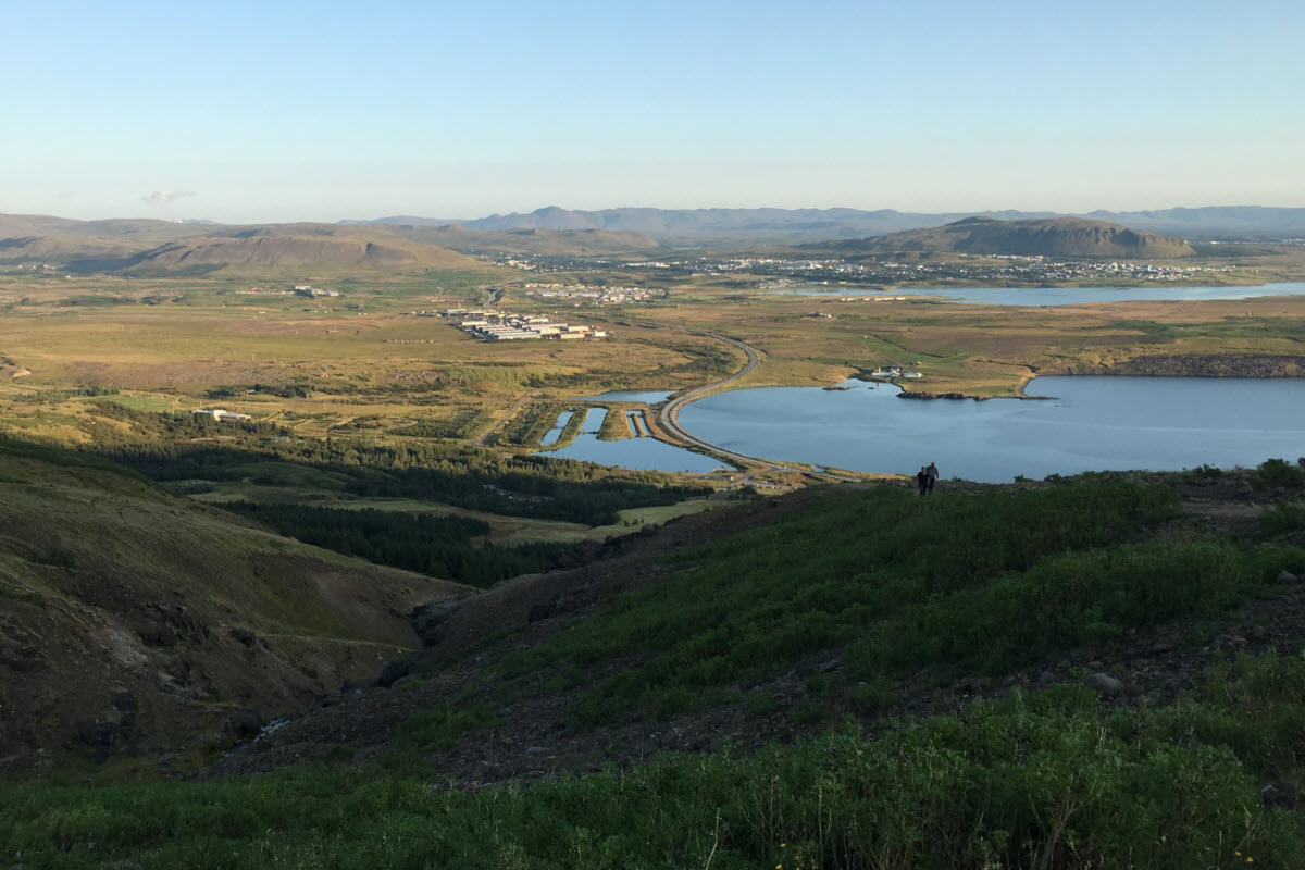
Esja dominates the northern skyline of Reykjavík and gives hikers a genuine mountain experience close to the city. The trail rises through changing vegetation and increasingly open slopes until Reykjavík, Faxaflói Bay, the Reykjanes Peninsula and surrounding mountains spread out below. You do not have to reach the highest point to earn the view: Steinn is a satisfying goal and the sensible turnaround for many visitors.
Esja is a volcanic mountain range built mainly from layers of basalt and tuff. It looks compact from Reykjavík, but the broad massif contains several ridges, gullies and routes. Always follow the marked route you selected rather than improvising across steep ground.
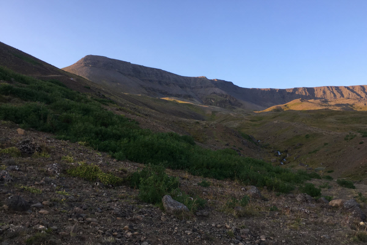
The route to Steinn
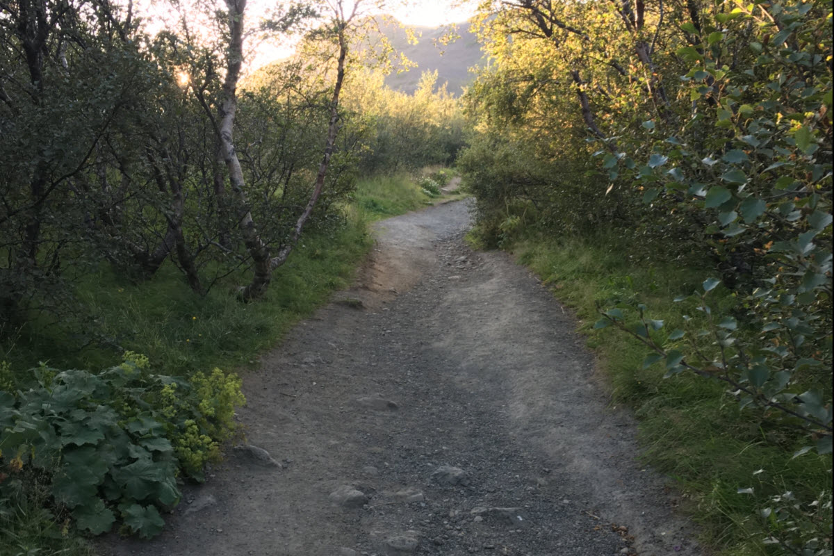
The most popular hike begins at the main trailhead near Esjustofa. Signs divide the ascent into sections and use boot symbols to indicate increasing difficulty. The lower trail is steady rather than technical, but it gains substantial height and can feel much harder in wind, rain or heat.
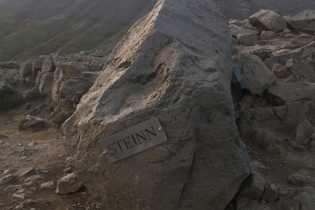
Steinn—the large rock where many hikers stop—stands below the most exposed upper terrain. Rest here, assess the weather and remember that the descent still demands time and concentration. Reaching Steinn is not a failed summit attempt; it is the standard objective for many local hikers and offers excellent views.
Above Steinn and Þverfellshorn
The route above Steinn becomes steeper and more exposed, with rock, loose ground and sections where hand support or fixed assistance may be used. Only continue when conditions are good and everyone in the group is comfortable with the terrain. Snow, ice, cloud and strong wind can turn the upper route into a serious undertaking.
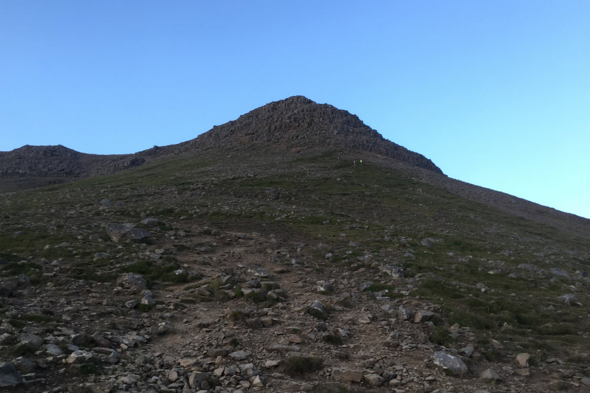
Þverfellshorn is a commonly reached high point at about 780 m; it is not the 914 m highest point of the entire Esja range. Do not follow other hikers blindly. If the route or weather exceeds your experience, turn around.
Weather, equipment and mountain safety
Conditions on Esja can differ sharply from downtown Reykjavík. Wind strengthens with height, cloud can remove visibility and snow often remains on upper slopes. Before departure, check the Icelandic Met Office forecast and current travel information on SafeTravel.
Wear sturdy footwear and layers, and carry waterproof outer clothing, water, food and a charged phone. In cold or wintry conditions, use equipment appropriate to the route and your experience. Tell someone your plan, keep the group together and call 112 in an emergency. Downloaded maps and the SafeTravel app can help when mobile coverage or visibility is poor.
Getting to the trailhead
By car, follow Route 1 north through Mosfellsbær towards Kjalarnes and use the signed Mount Esja hiking area. Do not leave valuables visible, and park only in designated spaces.
Public transport is possible but not normally a single direct city-centre bus. Visit Reykjavík currently describes bus 29 between Mosfellsbær and Kjalarnes; connections and frequency vary, especially at weekends. Check the current Strætó journey planner for both outward and return trips before relying on the bus.
Responsible hiking
Stay on marked paths to reduce erosion and avoid disturbing vegetation. Carry all rubbish out, keep dogs under control according to local rules and give descending hikers room on narrow sections. Toilets or services at the trailhead can have limited hours, so arrive prepared.
Start early enough to descend in daylight unless you are equipped for darkness. A conservative decision on Esja is always the right one: the mountain remains there for another day.
See also in Reykjavík
Continue with three Reykjavík places that connect the mountain to the city landscape.
Frequently asked questions about Mount Esja
The highest point of the broad Esja range is about 914 m. The commonly hiked Þverfellshorn is lower, around 780 m.
The marked climb to Steinn is moderate but sustained. Terrain above Steinn is steeper, exposed and suited to experienced, well-prepared hikers in good conditions.
Steinn is the standard turnaround for many hikers and provides excellent views without the difficult upper section.
Time varies with route, fitness and conditions. Allow several hours for a return hike to Steinn and more for the upper route; never plan to a tight deadline.
Winter hiking may involve snow, ice, darkness and severe wind. It requires suitable experience, clothing and equipment; turn back if conditions are uncertain.
Yes, with current Strætó connections. Bus 29 serves Mosfellsbær–Kjalarnes, but schedules vary, so plan both directions in the live journey planner.
Sturdy footwear, warm layers, waterproof clothing, food, water, a charged phone and navigation appropriate to conditions.
The marked hiking area does not normally charge trail admission. Any private services or guided activities are separate.
Yes. Wind, cloud, rain and snow can arrive quickly and are often stronger higher on the mountain than in Reykjavík.
Call 112 in Iceland. The SafeTravel app can also help share your location with emergency services.
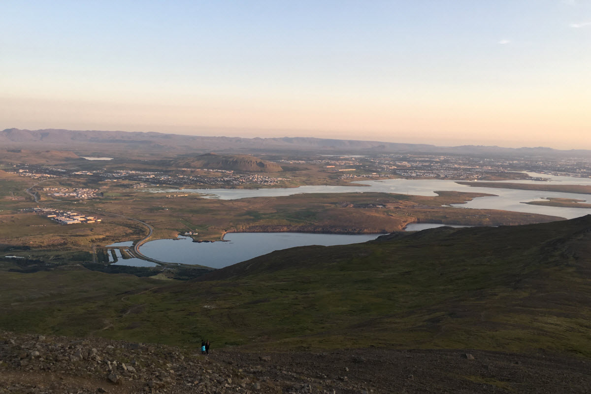
View over Reykjavík area from Mount Esja
Mount Esja the most popular hiking route in the Reykjavík area
View over Reykjavík area from Mounta Esja
The summit at Mount Esja, Þverfellshorn (780 meters)
The beginning of the hike up to Mount Esja
Steinn or the Stone where most people turn around