Djúpalónssandur Travel Guide: History, Lifting Stones, Shipwreck and Tours

Djúpalónssandur is one of the most memorable stops on the Snæfellsnes Peninsula: a black-pebble cove shaped by lava, Atlantic waves and centuries of fishing history. This guide explains the lifting stones, the wreck of the Epine GY 7, the path to Dritvík, the stories behind the rock formations and the best tours from Reykjavík.
Djúpalónssandur at a glance
Location: Western Snæfellsnes, inside Snæfellsjökull National Park
Known for: Black lava pebbles, four historic lifting stones, the Epine shipwreck and the coastal walk to Dritvík
Time needed: 45-75 minutes for the beach; 2-3 hours if you walk to Dritvík and back
Difficulty: Short but uneven paths, steps and loose stones
Important: Never wade here. Stay well back from the unpredictable Atlantic surf.
What makes Djúpalónssandur special?
Djúpalónssandur lies beneath Snæfellsjökull on the peninsula's exposed western coast. The beach is not a broad strip of sand. It is a compact, enclosed world of polished black stones, twisted lava, freshwater pools and sudden views of the ocean.
The beauty is only part of the story. Djúpalónssandur and nearby Dritvík Cove formed an important fishing landscape. Generations of fishermen carried boats and equipment across this difficult shore, tested their strength on heavy stones and worked in seas that could be unforgiving. That human history gives the place much of its power.
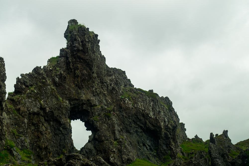 Lava formations frame the sea and Snæfellsjökull landscape around Djúpalónssandur.
From fishing station to protected national-park landmark
Djúpalónssandur was once connected to a busy seasonal fishing economy. Fishermen came to the outer Snæfellsnes coast when catches were strongest and launched open rowing boats from coves where lava offered at least some shelter. The larger centre of activity was Dritvík, reached today by a short coastal path.
There was no comfortable harbour infrastructure. Men handled boats on steep pebble shores, carried heavy gear and read weather and wave conditions with their lives depending on it. The remains and traditions at Djúpalónssandur are therefore not decorative curiosities; they are evidence of the working culture that supported coastal communities for centuries.
The four lifting stones of Djúpalónssandur
Near the path below Gatklettur are four famous stones used to measure whether aspiring fishermen were strong enough for work at sea. Their traditional names and weights are:
- Fullsterkur, or Full-Strong, about 155 kg
- Hálfsterkur, or Half-Strong, about 100 kg
- Hálfdrættingur, about 49 kg
- Amlóði, about 23 kg
A man generally needed to lift at least Hálfdrættingur to hip height to be considered useful on a fishing boat. The stones make the physical demands of the old fishing station immediately understandable. Visitors should treat them as cultural objects, avoid risky lifting and never roll or relocate them.
The wreck of the Epine GY 7
Rust-coloured iron remains scattered above the beach belong to the British trawler Epine GY 7 from Grimsby. The vessel was wrecked off this coast in March 1948. Fourteen crew members died and five survived.
The metal is now a protected memorial. Leave every piece exactly where it lies. Together, the fragments and the violent shoreline communicate the danger more clearly than a conventional monument could.
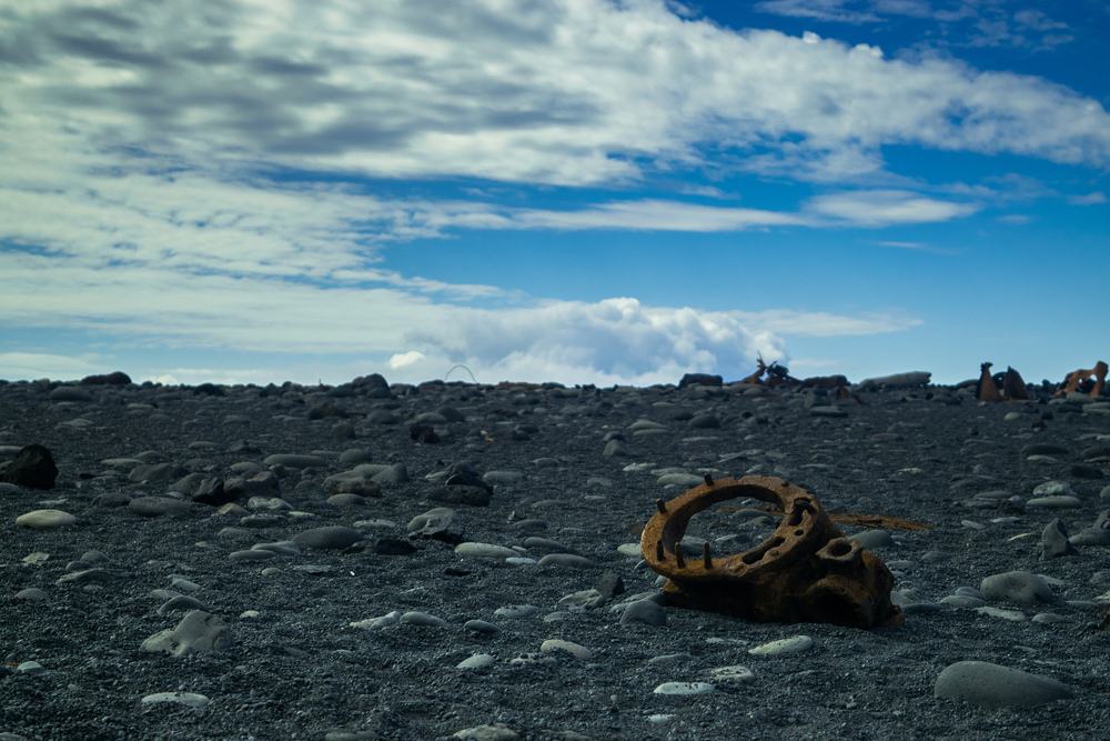 The remains of the Epine are a memorial to the crew lost here in 1948.
Djúpalónsperlur, freshwater pools and folklore
The smooth black pebbles are called Djúpalónsperlur, the Pearls of Djúpalón. They have been polished by the Atlantic, but they are protected and must stay on the beach. Take photographs, not stones.
Behind the shore are two freshwater pools, Djúpalón and Svörtulón. They were once believed to be bottomless, although later measurements found them to be about five metres deep. Tradition says Bishop Guðmundur the Good blessed Svörtulón, and the water was associated with healing.
The surrounding lava has collected names and stories. Söngklettur, the Singing Rock, is known for its acoustics; Tröllakirkja and other formations connect the coast with the folklore that runs throughout Snæfellsnes. The landscape makes those stories feel plausible: arches, pinnacles and caves change character as the light moves.
Walking from Djúpalónssandur to Dritvík
The coastal trail to Dritvík Cove is the best way to turn a short roadside stop into a deeper encounter with the area. The route is roughly one kilometre each way and follows uneven lava and coastal ground. In good conditions it is a manageable walk, but sturdy shoes and windproof layers matter.
Dritvík was once one of Iceland's largest seasonal fishing stations. Walking there connects the strength stones and shipwreck at Djúpalónssandur with the landing places, lava shelters and traces of the working settlement farther along the coast.
Best group tours from Reykjavík
These shared day tours are the most practical way to visit Djúpalónssandur without driving. They combine the beach with a wider Snæfellsnes route, usually including several of the peninsula's best-known coastal, volcanic and village stops.
Our top recommendation
Snæfellsnes and Kirkjufell Small Group Tour is the strongest first choice for this story because it includes the Djúpalónssandur area and goes farther to Dritvík, while also building a complete peninsula day around Kirkjufell and Snæfellsjökull scenery.
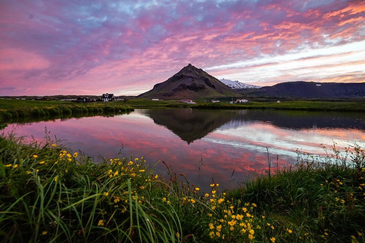
Our top shared-tour recommendation, combining Dritvík, Kirkjufell, black beaches, fishing villages and Snæfellsjökull scenery.
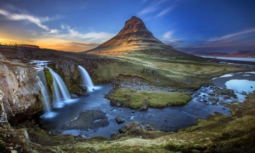
A small-group national park tour with lava fields, ocean cliffs, black beaches and Snæfellsjökull glacier-volcano scenery.
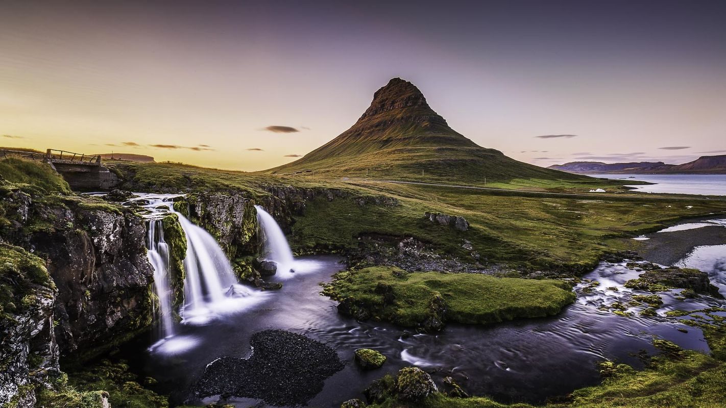
A classic Snæfellsnes Peninsula day with Kirkjufell, lava coastlines, fishing villages and varied landscapes.
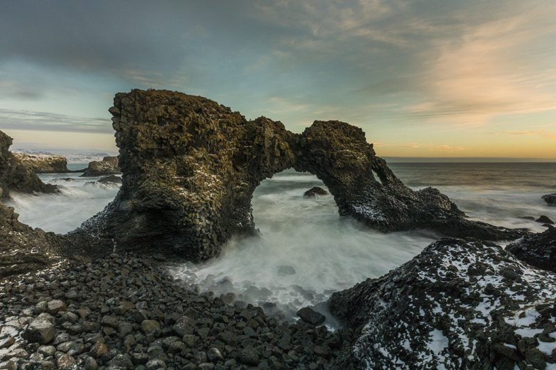
A full Snæfellsnes minibus day combining Kirkjufell, coastal villages, lava landscapes and West Iceland scenery.
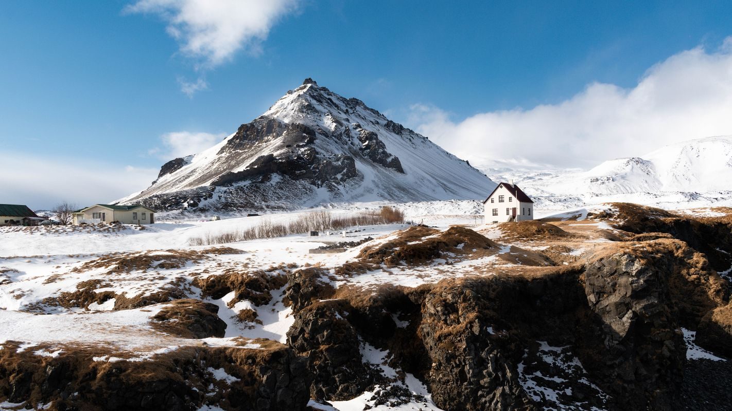
A small-group Snæfellsnes day paired with a guided exploration of Vatnshellir lava cave beneath the peninsula.
Private Snæfellsnes tours
A private tour costs more, but it is the better format if Djúpalónssandur and the walk toward Dritvík are priorities. Extra flexibility can make room for weather, photography, a slower beach visit or nearby stops such as Vatnshellir Lava Cave.
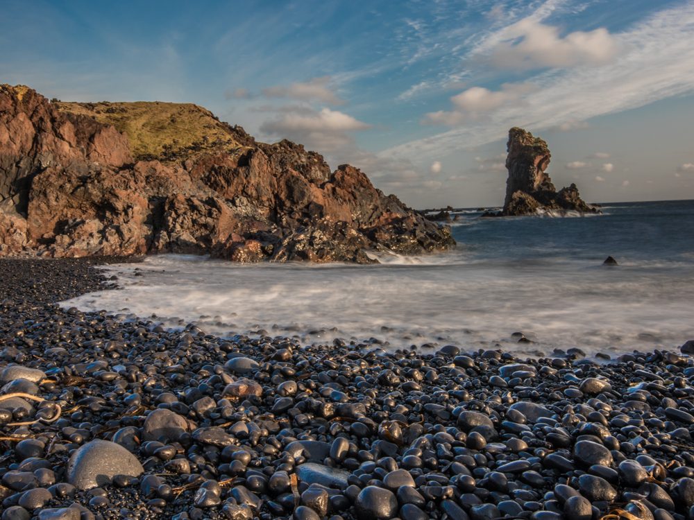
A private Snæfellsnes Peninsula day with flexible stops, dramatic coastlines and time shaped around your group.
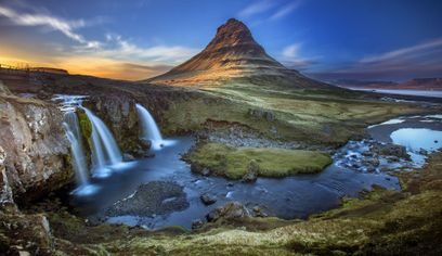
A private Snæfellsnes tour from Reykjavík with classic peninsula highlights and a flexible full-day pace.
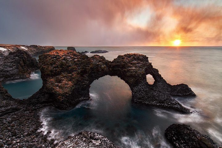
A private luxury Jeep tour around Snæfellsnes with comfortable travel, flexible stops and classic peninsula landscapes.
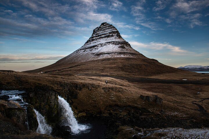
A private Super Jeep tour through dramatic Snæfellsnes scenery with extra flexibility and rugged character.
Places to combine with Djúpalónssandur
Djúpalónssandur fits naturally into a full day in Snæfellsjökull National Park. The closest useful additions are Dritvík, Vatnshellir Cave, Malarrif and Lóndrangar. Farther around the peninsula, Arnarstapi, Hellnar, Búðir and Kirkjufell turn the route into the classic 'Iceland in miniature' experience.
- Dritvík: Historic fishing cove reached by the coastal path.
- Vatnshellir: Guided descent into an 8,000-year-old lava tube.
- Malarrif and Lóndrangar: Lighthouse, sea cliffs and volcanic towers.
- Arnarstapi and Hellnar: Basalt coast, old villages and a scenic walking trail.
- Kirkjufell: The peninsula's most recognisable mountain, usually visited on full-day tours.
Photo gallery
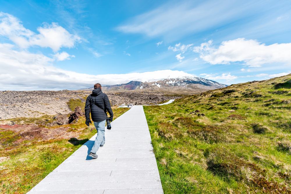
The approach gives a first view of the lava landscape beneath Snæfellsjökull.

Djúpalónsperlur are protected; enjoy them here and leave them on the beach.
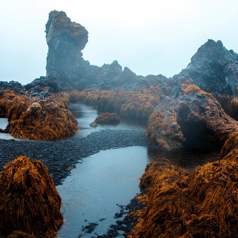
Freshwater pools, sea spray and lava make the cove feel enclosed and otherworldly.
Safety and practical advice
- Stay away from the waterline. Powerful waves and suction can arrive much farther up the shore than expected.
- Do not wade or swim. Djúpalónssandur is a viewing beach, not a bathing beach.
- Wear shoes with grip. Paths, steps, wet lava and loose pebbles can be slippery.
- Leave stones and wreckage untouched. Both the natural beach and historic remains are protected.
- Check road and weather conditions. Wind, ice and poor visibility can change plans quickly, especially outside summer.
- Allow daylight for the Dritvík walk. Do not start the coastal path late in deteriorating conditions.
FAQ about Djúpalónssandur
Yes. It combines one of Snæfellsnes's most distinctive black-pebble beaches with fishing history, folklore, lava formations and a short walk to Dritvík.
Continue to Dritvík Cove
Djúpalónssandur tells only half the fishing story. Read our detailed Dritvík Cove travel guide for the history of one of Iceland's largest seasonal fishing stations, the coastal walk and the tours that reach this quieter cove.