Dritvík Cove Travel Guide: Fishing History, Coastal Walk and Tours

Dritvík Cove is a quiet black-pebble bay with an outsized place in Icelandic maritime history. Hidden behind lava on the outer Snæfellsnes coast, it once held one of the country's largest seasonal fishing stations. This guide covers that history, the walk from Djúpalónssandur, folklore, safety and the best tours from Reykjavík.
Dritvík at a glance
Location: Western Snæfellsnes, inside Snæfellsjökull National Park
Known for: Historic fishing station, sheltered landing cove, black pebbles and lava formations
Access: Roughly 1 km on foot from Djúpalónssandur
Time needed: 2-3 hours for the return walk and a thoughtful visit
Important: There are no services at the cove; stay back from surf and cliff edges.
Why Dritvík mattered
It is difficult to imagine hundreds of people working in Dritvík today. The cove is quiet, roadless and surrounded by lava. Yet for roughly three centuries it was one of Iceland's most important seasonal fishing stations.
Fishing activity is believed to have developed strongly in the 16th century. A written record from 1530 refers to dried-fish dues connected with Helgafell monastery. By the 17th and 18th centuries Dritvík was among the largest stations in the country. Historical estimates vary, but the busiest seasons may have brought 40-50 boats and 600-700 people to this compact coast. Fishing from Dritvík ended in 1861.
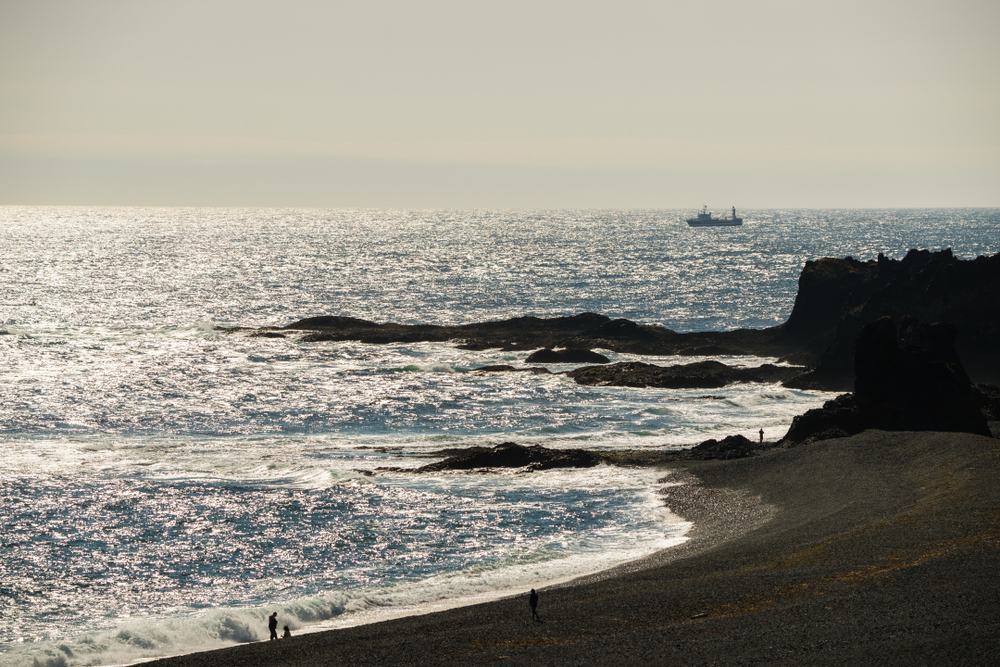 Dritvík's lava shelter and short distance to fishing grounds made the cove valuable despite the difficult shore.
A seasonal town that disappeared
Dritvík was not a conventional permanent village. Fishing crews arrived for the season and lived in simple shelters. Stone foundations supported tents or temporary structures that could be dismantled when the season ended. There were relatively few permanent dry-stone buildings, which helps explain why a settlement of such scale left fewer obvious ruins than visitors expect.
Most boats were eight-oared vessels or smaller. Crews launched from landing places known as Mölin and Pollurinn, between the lava formations Bárðarskip and Dritvíkurklettur. The cove was protected by lava on three sides and the fishing grounds were close, but every departure and landing still demanded strength, coordination and precise knowledge of the sea.
The walk from Djúpalónssandur
The usual route begins at the Djúpalónssandur parking area. After visiting the lifting stones, freshwater pools and beach, follow the marked coastal path west toward Dritvík. The walk is about one kilometre each way.
The distance is short, but the surface is rough. Expect uneven lava, loose stones, wind and little shelter. Wear sturdy shoes and carry water. The reward is a gradual change from a famous roadside attraction to a place that feels remote and historically layered.
Völundarhús: the Dritvík stone labyrinth
On the clifftop near Tröllakirkja, above Dritvík Bay, lies one of the coast's most unusual cultural remains: a small stone labyrinth known as Völundarhús, or the House of Völundur. It is best approached from the Djúpalónssandur side of the coastal route.
The labyrinth is built from lava stones in a Baltic-style pattern with a spiral at its centre. Specialist labyrinth records describe it as approximately 8.5 metres in diameter. Its exact age is unknown, but it was probably constructed in the 17th or 18th century and was restored in 2000. Earlier investigators recorded several old labyrinths in Iceland; Völundarhús at Dritvík is considered the only surviving pre-modern example.
Why fishermen made it remains uncertain. It may have been a pastime during pauses in the seasonal fishery, while later interpretations connect such coastal labyrinths with luck, ritual or the hope of controlling dangerous winds and seas. Those ideas are fascinating, but they are theories rather than proven facts.
A fragile landmark, not a playground
The low stones can be difficult to distinguish from the surrounding lava, especially in poor light. If you find the labyrinth, walk carefully, do not move or add stones and keep to existing ground where possible. Read the specialist entries at Worldwide Labyrinth Locator and Pagan Places.
Bárðarskip, Tröllakirkja and local stories
Dritvík's lava formations have names tied to Bárðar saga Snæfellsáss and local folklore. Bárðarskip, or Bárður's Ship, stands near the old landing area, while Tröllakirkja, the Troll Church, is one of several shapes that encouraged story-making on this dramatic coast.
Even the name Dritvík has a colourful saga explanation associated with Bárður and his companions. The literal joke is less important than what it reveals: Icelanders mapped memory, humour and supernatural stories onto natural landmarks, making a dangerous working coast easier to describe and remember.
What to look for at the cove
- The landing shore: Imagine rowing boats being hauled across black pebbles in Atlantic conditions.
- Stone foundations: Low traces in the landscape indicate temporary fishermen's shelters.
- Lava landmarks: Bárðarskip, Tröllakirkja and other forms frame the cove.
- Snæfellsjökull atmosphere: Weather and light change quickly beneath the glacier-volcano.
- The route back to Djúpalónssandur: The path links Dritvík's working history with the lifting stones and Epine memorial.
Best group tours from Reykjavík
Not every standard Snæfellsnes itinerary makes time for the walk to Dritvík. Choose a tour that names the cove or gives enough time in the Djúpalónssandur area.
The best direct match
We especially recommend the Snæfellsnes and Kirkjufell Small Group Tour. Its route includes Dritvík as well as the wider Snæfellsnes highlights, making it the clearest shared-tour choice for readers of this guide.
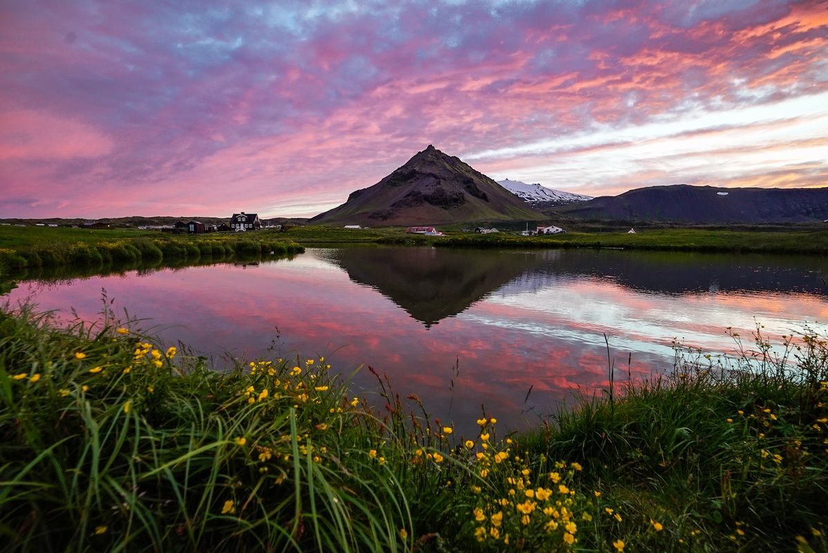
Our top shared-tour recommendation, combining Dritvík, Kirkjufell, black beaches, fishing villages and Snæfellsjökull scenery.
A small-group national park tour with lava fields, ocean cliffs, black beaches and Snæfellsjökull glacier-volcano scenery.
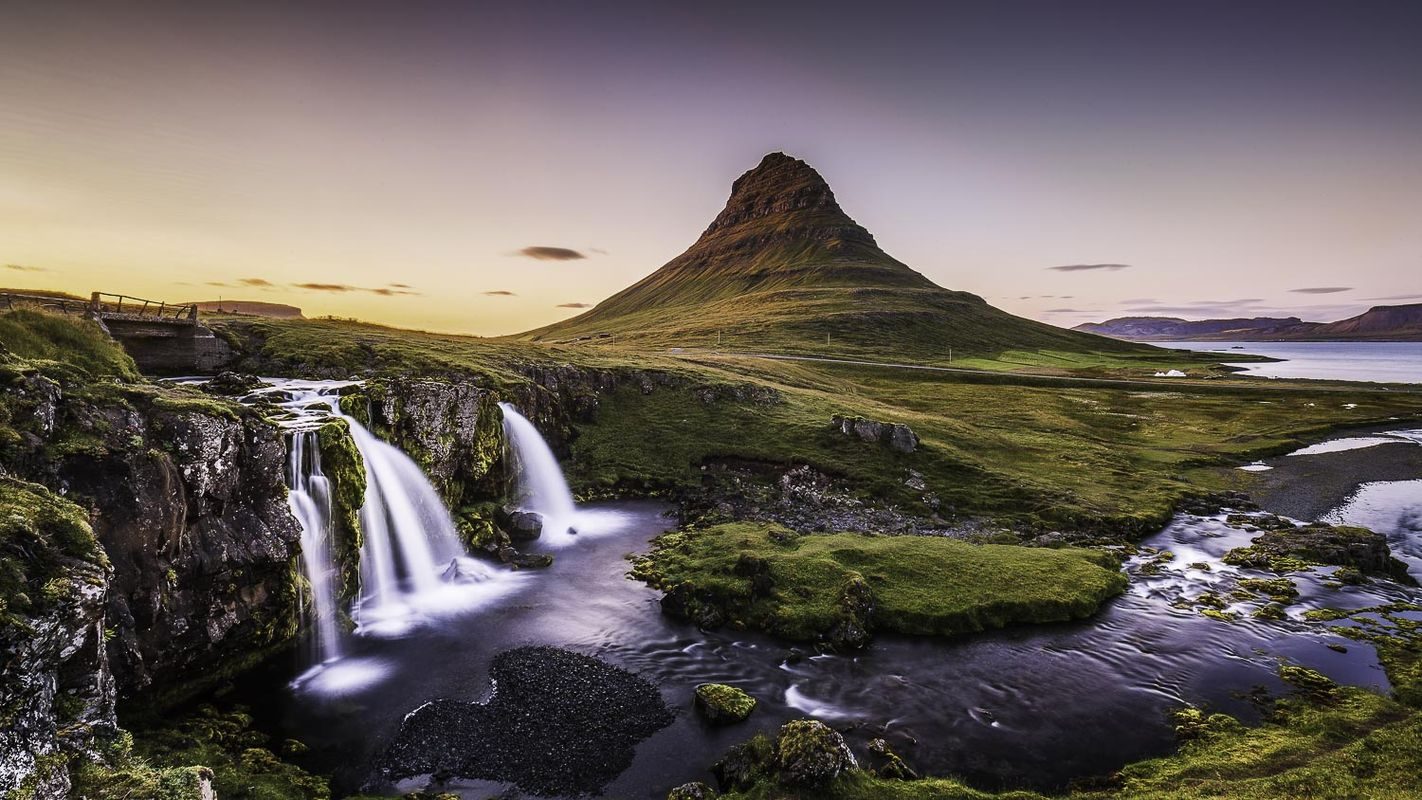
A classic Snæfellsnes Peninsula day with Kirkjufell, lava coastlines, fishing villages and varied landscapes.
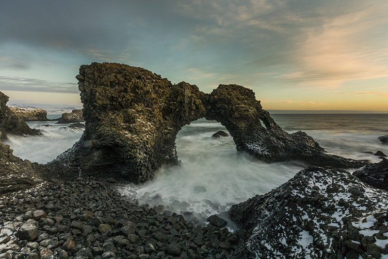
A full Snæfellsnes minibus day combining Kirkjufell, coastal villages, lava landscapes and West Iceland scenery.
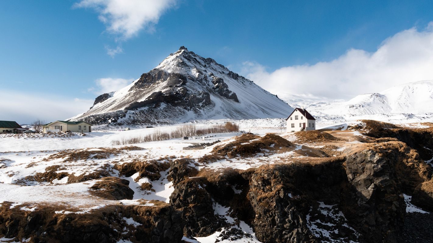
A small-group Snæfellsnes day paired with a guided exploration of Vatnshellir lava cave beneath the peninsula.
Private tours for more time at Dritvík
Private tours are considerably more expensive, so we list them separately. They make most sense for photographers, families, small groups and travellers who want the Dritvík walk to be a real priority rather than a possible extra. Confirm the desired route when booking because weather and trail conditions always matter.
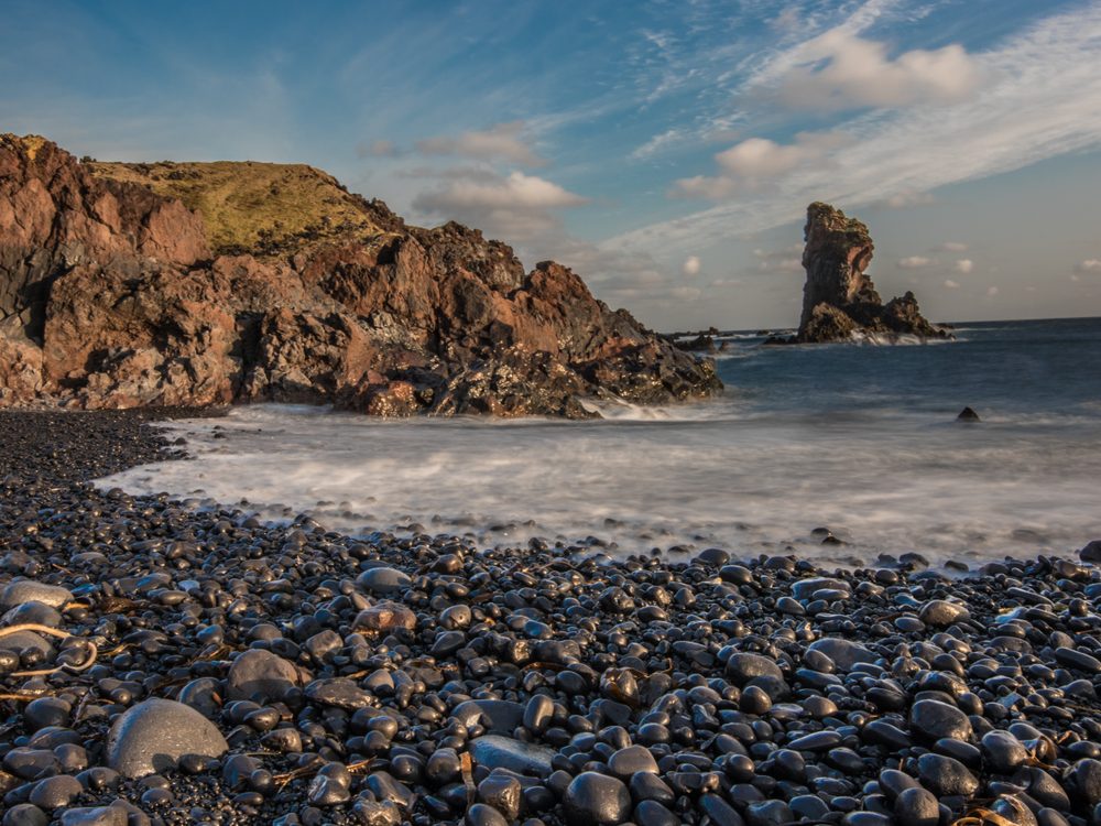
A private Snæfellsnes Peninsula day with flexible stops, dramatic coastlines and time shaped around your group.
A private Snæfellsnes tour from Reykjavík with classic peninsula highlights and a flexible full-day pace.
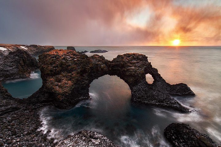
A private luxury Jeep tour around Snæfellsnes with comfortable travel, flexible stops and classic peninsula landscapes.
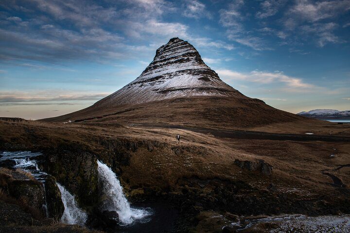
A private Super Jeep tour through dramatic Snæfellsnes scenery with extra flexibility and rugged character.
Places near Dritvík
The cove belongs in a connected Snæfellsjökull National Park itinerary. Start with Djúpalónssandur, then consider Vatnshellir Lava Cave, Malarrif lighthouse and Lóndrangar. Arnarstapi and Hellnar add villages, bird cliffs and another coastal walk.
For a full peninsula day from Reykjavík, the northern side contributes Kirkjufell, Grundarfjörður and Berserkjahraun. This broader route explains why Snæfellsnes is often called Iceland in miniature: fishing heritage, lava, glacier, mountains, beaches and villages fit into one compact region.
Photo gallery
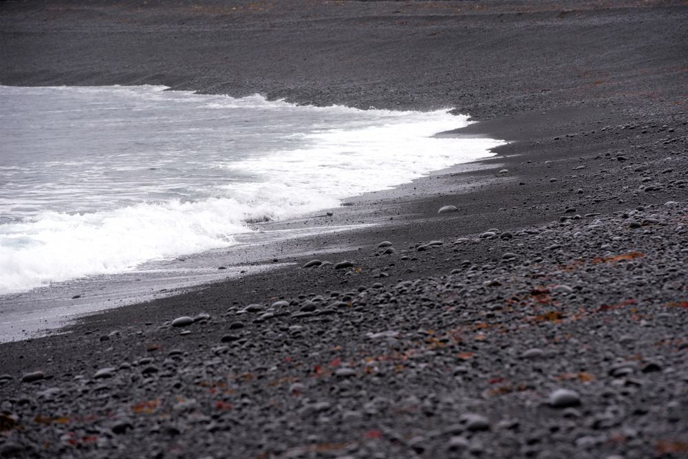
The landing shore is beautiful, exposed and closely tied to Dritvík's fishing history.
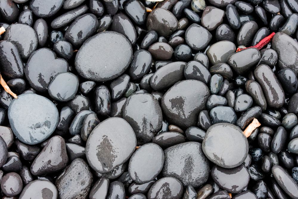
Atlantic waves continually reshape the volcanic shoreline.
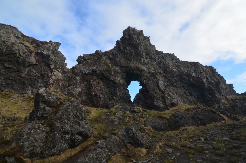
Lava formations give the walk its distinctive frames, shelters and stories.
Shipwreck history belongs to Djúpalónssandur
Some descriptions blend the two neighbouring sites. The rusting remains of the British trawler Epine GY 7 are at Djúpalónssandur, not the centre of Dritvík Cove. They are still relevant to the combined walk because they show how dangerous this coastline remained long after Dritvík's fishing station closed.
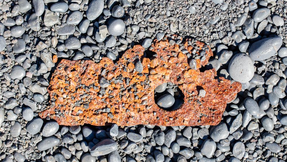 Historic remains along the route should always be left untouched.
Safety and practical advice
- Check the weather and road conditions. Wind and poor visibility can make a short walk unpleasant or unsafe.
- Stay back from surf and cliff edges. Waves are powerful and the coastline is uneven.
- Wear sturdy footwear. The trail crosses rough lava and loose coastal stones.
- Carry water and a charged phone. There are no shops, toilets or other services at Dritvík.
- Leave historic traces untouched. Do not move stones, wreckage or anything that may belong to old shelter sites.
- Turn back when conditions deteriorate. The cove will still be there another day.
FAQ about Dritvík Cove
Park at Djúpalónssandur and follow the coastal path for roughly one kilometre. The trail is short but uneven and weather-exposed.
Start at Djúpalónssandur
Before walking to Dritvík, read our complete Djúpalónssandur travel guide. It explains the four lifting stones, the Epine shipwreck, Djúpalónsperlur, freshwater pools and the safety rules for this powerful Atlantic beach.