Tectonic Plates in Iceland
Iceland is one of the best places on Earth to see plate tectonics in real life. The island sits on the Mid-Atlantic Ridge, where the North American and Eurasian tectonic plates are slowly moving apart. In most of the world this ridge is hidden beneath the ocean. In Iceland, parts of that same geological boundary rise above sea level, shaping national parks, fissures, lava fields, earthquakes, volcanoes, geothermal areas and some of the country's most popular tours.
This guide is built for travellers, not only geology students. It explains what tectonic plates are, why Iceland is so active, where you can actually see the rift, how Silfra fits into the story, which Reykjanes stops matter, and which guided tours make the geology easier, safer and more memorable.
Quick guide to tectonic plates in Iceland
| Location | The plate boundary crosses Iceland from the Reykjanes Peninsula through Thingvellir and the active volcanic zones toward North and East Iceland |
| Best for | Thingvellir, Silfra snorkeling, Reykjanes geology, volcano routes, geothermal landscapes and Golden Circle planning |
| Best places | Thingvellir National Park, Silfra, Bridge Between Continents, Fagradalsfjall, Geysir and Krafla |
| Typical visit time | 1 to 3 hours for Thingvellir, half a day with Silfra, or a full day for Golden Circle or Reykjanes geology routes |
| Best season | Year round for Thingvellir and Reykjanes roads in suitable conditions; Silfra and volcanic areas require operator and safety checks |
| Good to know | Iceland sits on a divergent boundary. The plates are moving apart, not crashing together, and the visible rift is a broad landscape rather than a single line you can trace everywhere. |
| Coordinates | 64.2559, -21.1295 |
- Why Iceland is special
- What are tectonic plates?
- Which plates meet in Iceland?
- Where to see the plates
- Thingvellir and Almannagja
- Silfra snorkeling and diving
- Reykjanes and the Bridge Between Continents
- Volcanoes, earthquakes and geothermal heat
- Golden Circle and Thingvellir tours
- Silfra tours
- Reykjanes and volcano tours
- Places and route ideas
- Towns and bases
- Suggested itinerary ideas
- FAQ about tectonic plates in Iceland
Why Iceland is special
The Mid-Atlantic Ridge is an underwater mountain chain running through the Atlantic Ocean. It marks a divergent plate boundary, which means the plates on either side are pulling apart. New crust forms as magma rises and cools, while older crust moves away from the boundary.
Iceland is unusual because this ridge is not just an offshore idea on a map. It crosses the country. That is why visitors can walk through rift valleys at Thingvellir, snorkel in the Silfra fissure, stand at the Bridge Between Continents on Reykjanes, see steaming geothermal fields, and visit lava landscapes that are young enough to feel almost unfinished.
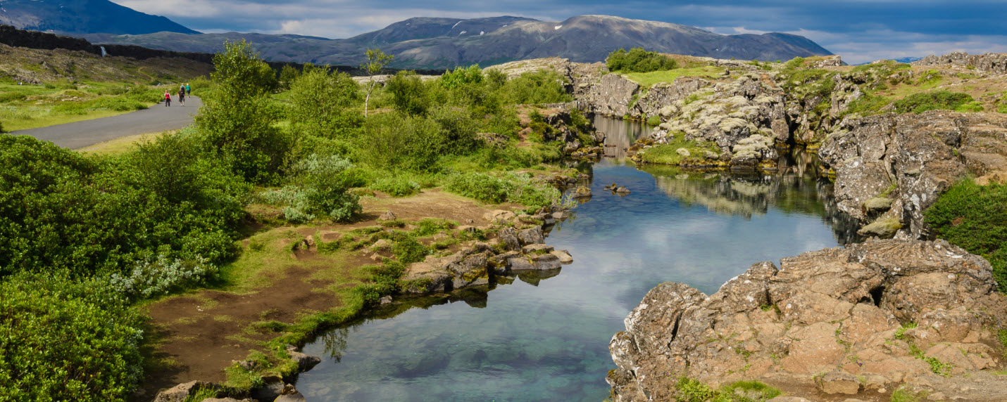
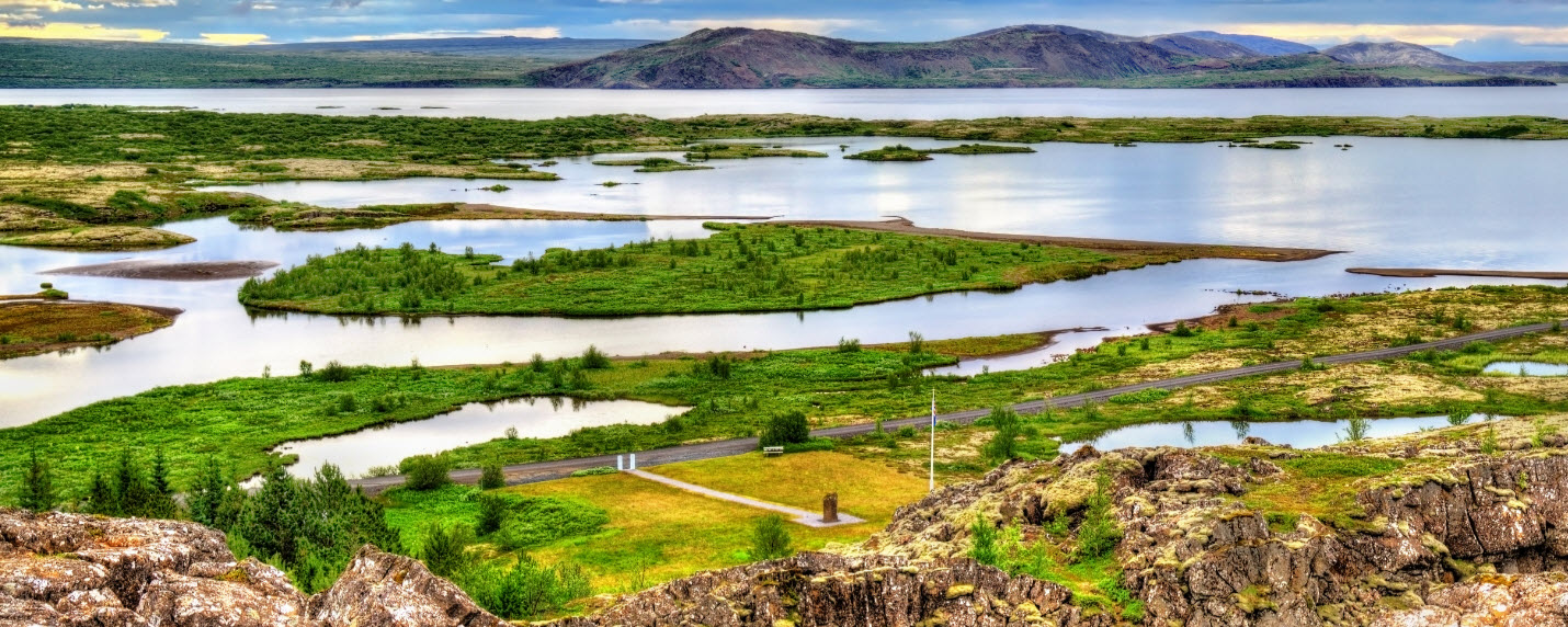
Thingvellir is the easiest place in Iceland to understand the plate boundary because the rift landscape is visible on land.
Iceland is shaped by two forces working together: the spreading boundary between the North American and Eurasian plates, and a deep mantle plume or hotspot beneath the country. The ridge explains the tearing and rifting. The hotspot helps explain why so much volcanic material has built Iceland high enough to stand above the ocean.
What are tectonic plates?
Tectonic plates are enormous slabs of Earth’s rigid outer shell. They include crust and the uppermost mantle, and they move very slowly over the hotter, more deformable material beneath them. Continents and ocean floors ride on these plates, which is why the movement of plates can open oceans, build mountains, trigger earthquakes and feed volcanoes.
The most important thing for visitors is the plate boundary. Plates can collide, slide past each other, or pull apart. Iceland sits on a boundary where plates pull apart. That is why the country has rift valleys, fissure swarms, volcanic systems, earthquakes, geothermal heat and frequent reminders that the land is still being made.
- Divergent boundary: plates move apart and new crust can form. This is the key Iceland setting.
- Convergent boundary: plates move toward each other, often creating mountains, trenches or subduction zones. This is not the main Iceland story.
- Transform boundary: plates slide past one another, often producing earthquakes.
Which tectonic plates meet in Iceland?
The two main plates involved in Iceland are the North American Plate and the Eurasian Plate. The western side of Iceland is generally on the North American Plate, while the eastern side is generally on the Eurasian Plate. The boundary is not a neat painted line on the ground; it is a wider zone of faults, fissures, volcanic systems and rift valleys.
In broad route-planning terms, the plate boundary comes ashore on the Reykjanes Peninsula, crosses the southwest through Thingvellir, continues through the active volcanic zones, and has major expressions farther north around areas such as Krafla and Myvatn. That is why a traveller can experience the same geological story through very different landscapes: a national park, a snorkelling fissure, a bridge, a geothermal field, a lava hike or a hot spring.
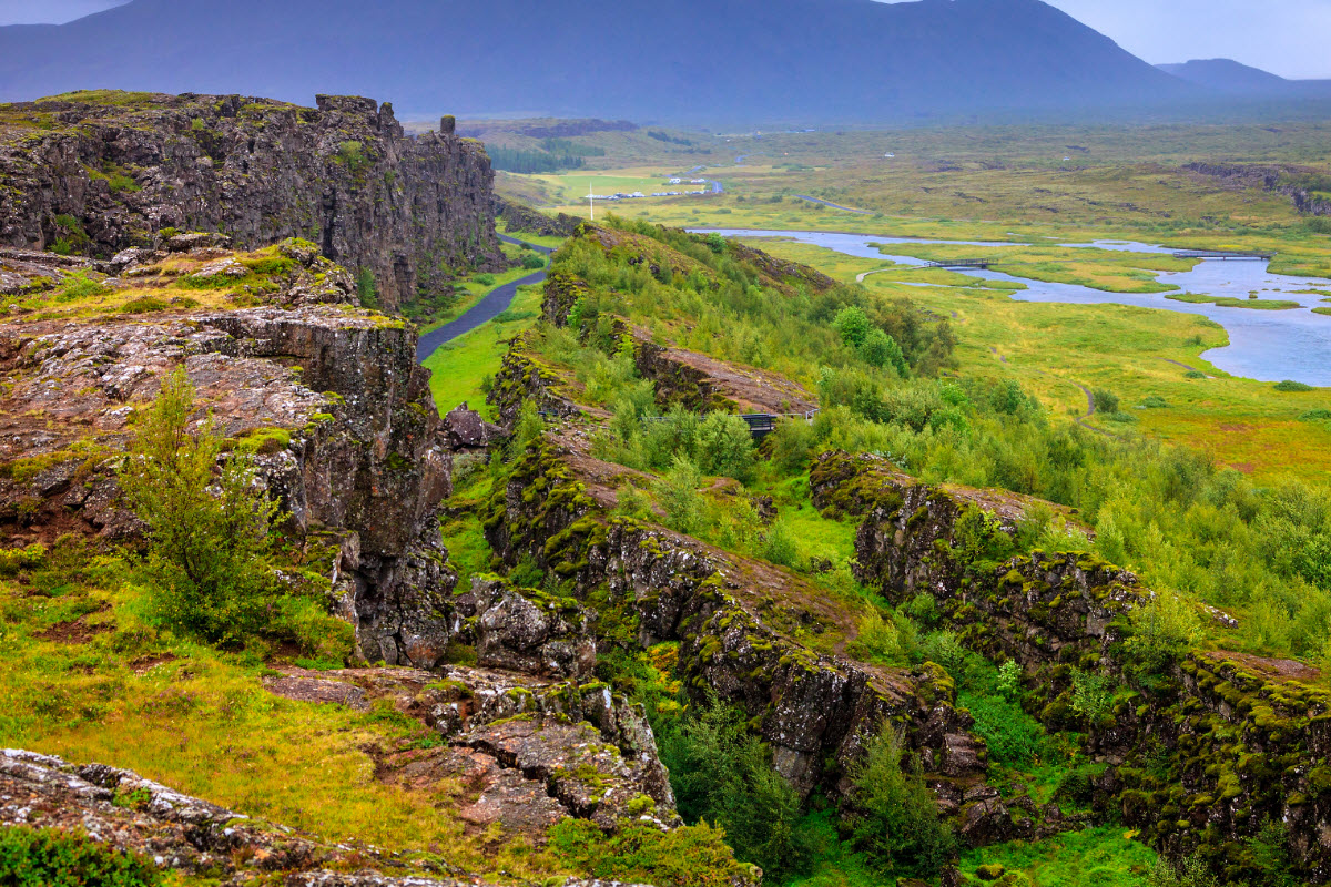
The plate boundary is a broad rift zone. At Thingvellir it becomes especially easy to read in the cliffs, fissures and subsided valley floor.
Where to see the tectonic plates in Iceland
The best place depends on what kind of experience you want. If you want the clearest land-based view, choose Thingvellir. If you want the most memorable guided activity, choose Silfra. If you want a quick pre-flight or post-arrival geology stop, use Reykjanes and the Bridge Between Continents. If you want active volcanic landscapes, follow the Reykjanes or North Iceland rift-zone routes.
- Thingvellir National Park: best for first-time visitors, Golden Circle travellers, history and visible rift scenery.
- Silfra fissure: best for snorkelling or diving between the plates with qualified operators.
- Bridge Between Continents: best for a short Reykjanes photo and explanation stop.
- Fagradalsfjall and Reykjanes lava fields: best for recent volcanic landscapes and guided geology hikes.
- Krafla and Myvatn: best for travellers continuing north who want craters, lava, geothermal steam and rift-zone scenery.
Thingvellir and Almannagja: the rift you can walk through
Thingvellir is the most important tectonic-plate stop in Iceland because the geology is visible and the history is extraordinary. The Althing general assembly was established there around 930, making Thingvellir one of the defining places in Icelandic history. For travellers, that means the stop is not only about cliffs and cracks in the ground. It is also about law, identity, landscape, language and the roots of the Icelandic nation.
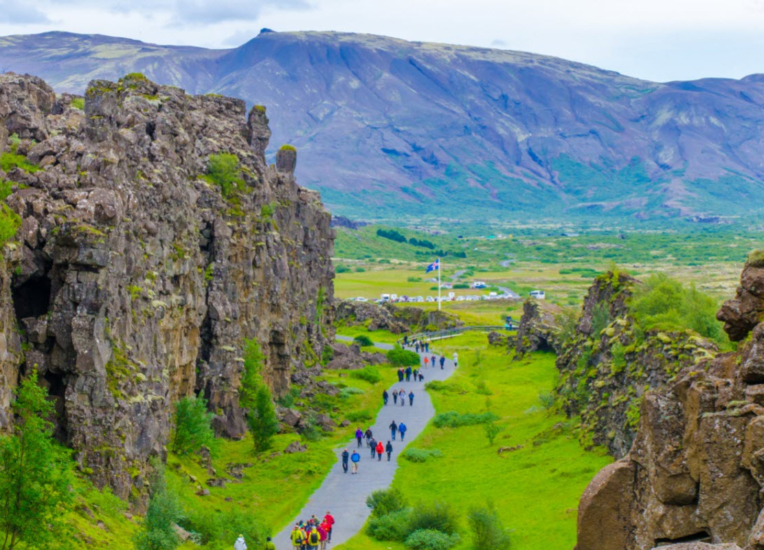
Geologically, the park lies in a rift valley. The cliffs and fissures around Almannagja show how the land has been pulled, cracked and lowered through movement along the plate boundary. You do not need to be a geologist to feel it. Walk from the viewpoint down through Almannagja, continue toward the Law Rock area, visit Oxararfoss if time allows, and look back across Thingvallavatn to see how broad the valley really is.
For most visitors, Thingvellir works best as the first major stop on the Golden Circle. The strongest guided days connect it with Geysir and Gullfoss. A guide adds real value because the same place carries two stories at once: the plate-boundary story under your feet and the national history story around the old assembly site.
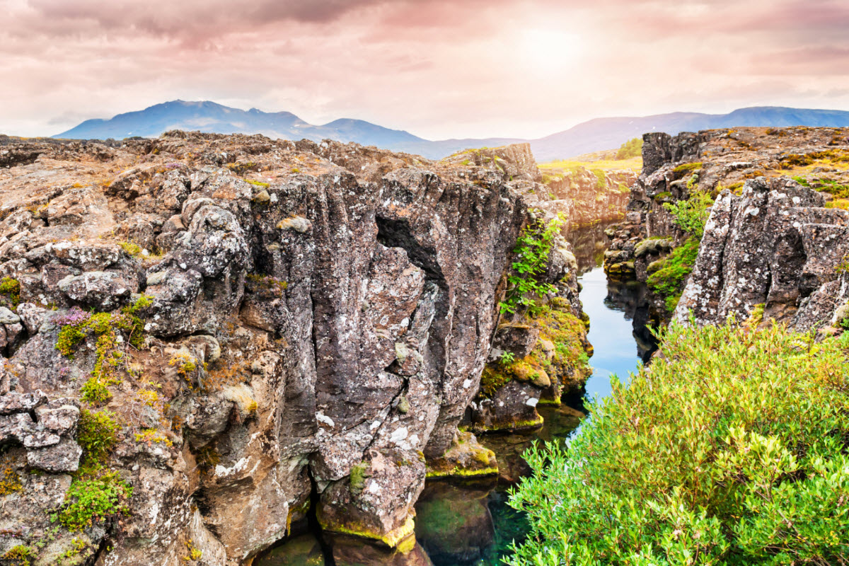
Almannagja is the classic land-based rift experience in Iceland and the easiest place to connect geology with the Golden Circle.
Silfra: snorkelling and diving between tectonic plates
Silfra is the activity version of Iceland’s tectonic story. It is a fissure in Thingvellir National Park filled with exceptionally clear, cold water. The experience is famous because travellers can snorkel or dive in a rift between the North American and Eurasian plates.
This is not a casual swim. Silfra should be booked with qualified operators who provide dry suits or specialist equipment, guide the route and manage the safety requirements. If you are already self-driving the Golden Circle, choose a meet-on-location Silfra tour. If you are based in Reykjavik and want the timing handled, choose a transfer-included Silfra tour or a full Golden Circle and Silfra combination.
Silfra also works well from an SEO and traveller-intent perspective because it turns an abstract geology topic into a bookable memory. People search for tectonic plates because they want to see them. Silfra lets them experience that story directly in the water.

Silfra is where the tectonic-plate story becomes an activity, not only a viewpoint.
Best Thingvellir and Golden Circle tours for tectonic plates
These are the best all-round routes when travellers want the tectonic-plate story together with Thingvellir, Geysir, Gullfoss and practical Reykjavik departures.
Compare all Golden Circle tours
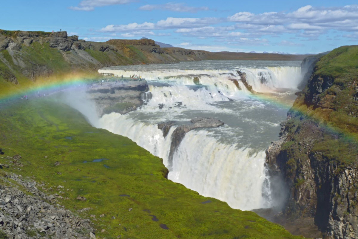
The simplest guided route for Thingvellir, the rift valley, Geysir and Gullfoss in one classic day.
Best when the tectonic-plate story should include both the land rift and Silfra in the water.
A flexible choice if you want more time for Almannagja, Oxararfoss, photos and geology context.
A Golden Circle day with an Icelandic horse element for travellers who want more than sightseeing.
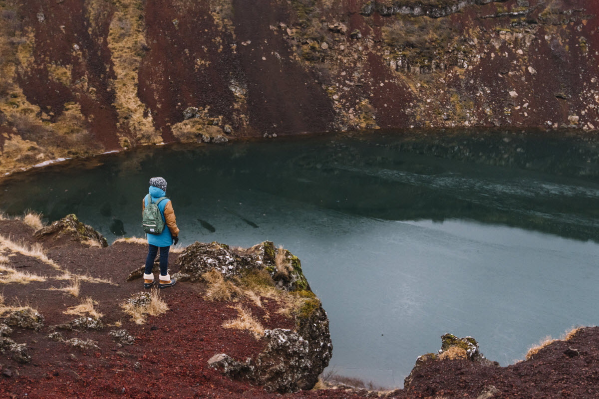
A strong extension when you want rift geology, hot springs, a crater and bathing in one day.
How to choose a Silfra tour
Choose by logistics first. If you have a rental car and your day is already built around Thingvellir, the self-drive Silfra option is simplest. If you do not want to coordinate road conditions, parking, meeting time and the rest of the Golden Circle, choose a Reykjavik departure or a combined Golden Circle and Silfra tour.
Silfra snorkeling tours between the plates
Use these when the rift itself should be the activity of the day. Silfra tours belong right here because this is the section where travellers are deciding whether they only want to see the plates or actually enter the fissure.
Compare snorkeling tours in Iceland
The meet-on-location option inside Thingvellir for travellers already driving the Golden Circle.
A practical Silfra choice when you want transfers handled from Reykjavik instead of self-driving.
The best single-day combination for Thingvellir geology, Silfra and the classic Golden Circle.
A focused guided snorkel in the clear fissure water for travellers who want Silfra as the main event.
A strong match for travellers who search for tectonic plates and want the between-continents experience.
Reykjanes: Bridge Between Continents and recent lava fields
The Reykjanes Peninsula is where many travellers first meet Iceland’s plate-boundary landscape, even if they do not realise it. The drive from Keflavik airport toward Reykjavik crosses young lava, geothermal areas, fissures and coastal volcanic terrain. The Bridge Between Continents makes the idea easy to understand: a short footbridge spans a sandy fissure area between the plates.
The bridge is not the only reason to visit Reykjanes. Gunnuhver, Reykjanes Lighthouse, Kleifarvatn, Fagradalsfjall and recent lava-field areas make the peninsula one of the best regions for a compact geology day. Because conditions and access can change around active volcanic areas, guided tours are often the best match when the goal is recent eruption landscapes rather than just a photo stop.
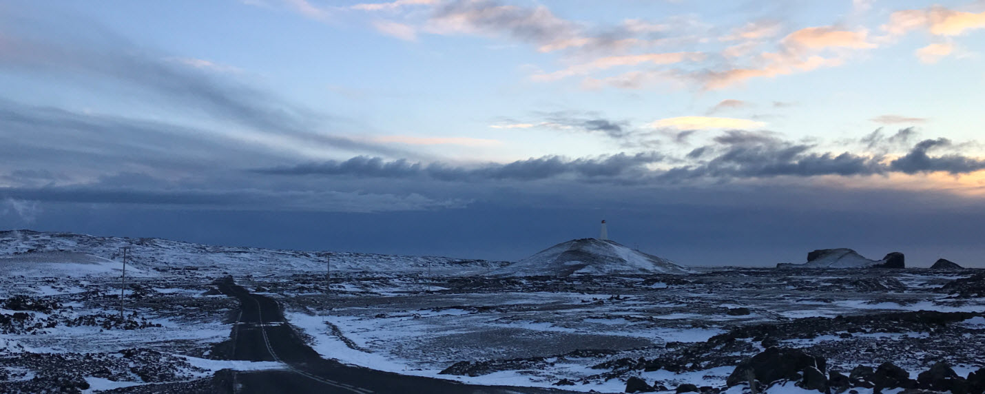
The Bridge Between Continents is the simplest Reykjanes stop for explaining the plate boundary in a short visit.
Reykjanes volcano and geology tours
These tours fit the Reykjanes side of the plate-boundary story: recent lava fields, volcanic hiking, geothermal areas, Blue Lagoon combinations and private route flexibility.
Compare volcano tours in Iceland
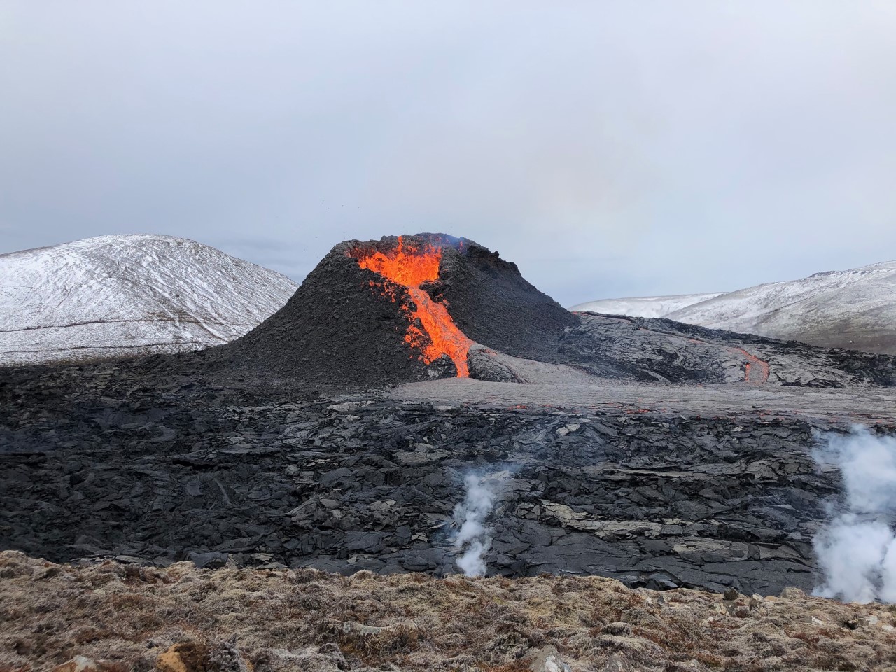
A guided route for recent lava fields, volcanic landscapes and local safety context on the peninsula.
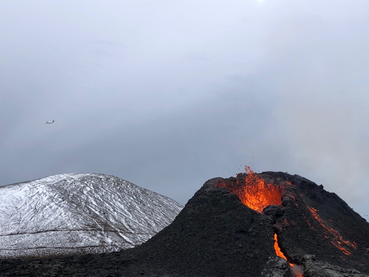
A focused volcano hike for travellers who want the recent eruption landscape without a full-day plan.
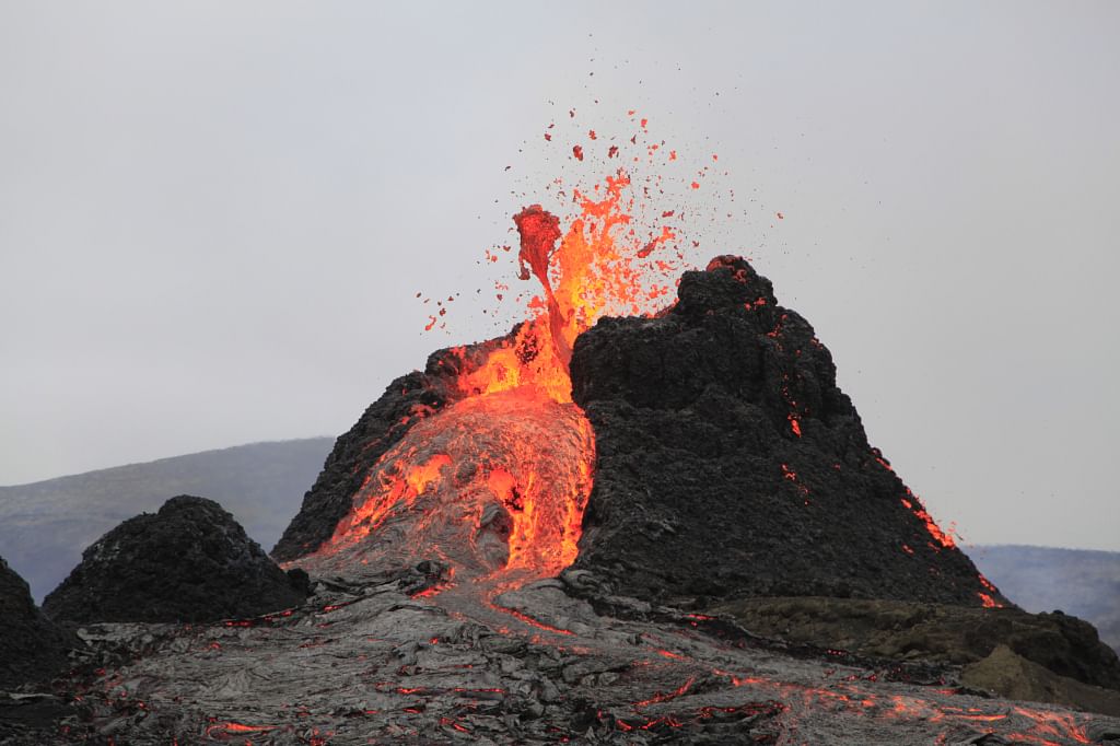
A direct guided route into Reykjanes lava-field scenery with stronger local interpretation.
Best for flexible peninsula timing, rougher route options, coast, geothermal areas and volcano context.
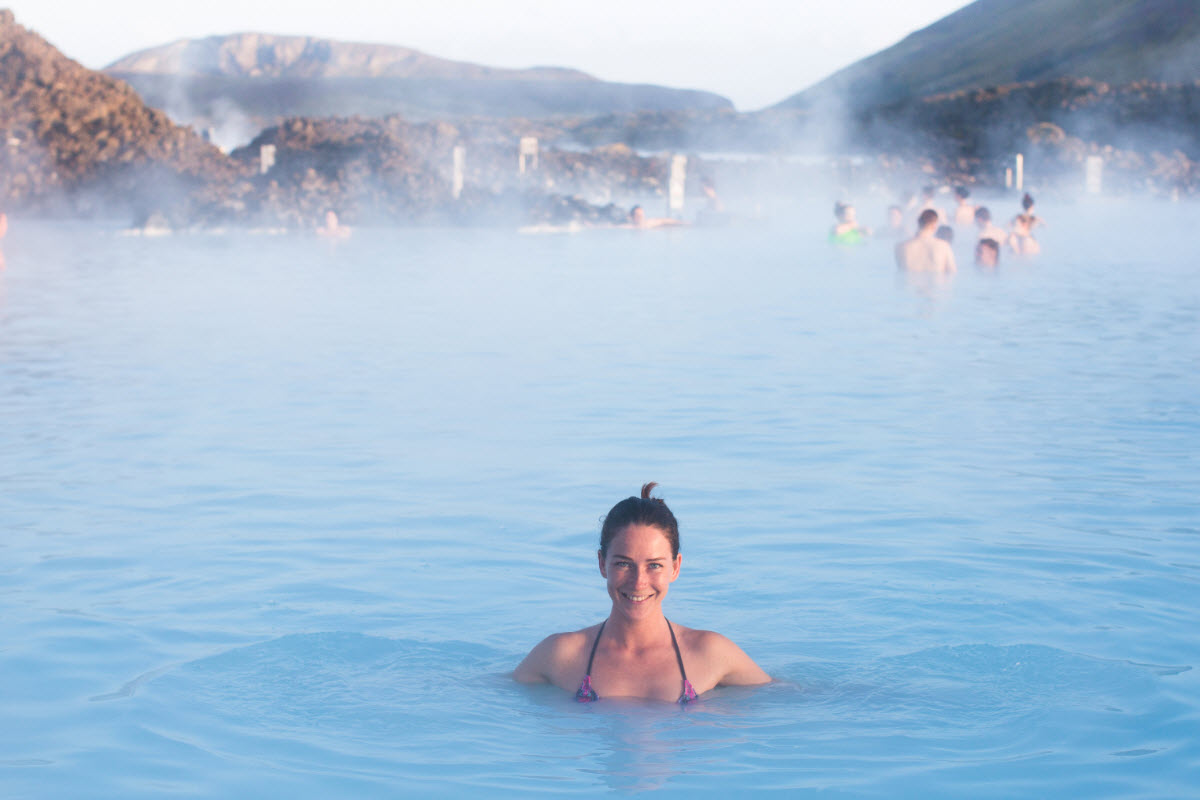
A sales-friendly combination when the geology day should end with geothermal bathing.
Volcanoes, earthquakes and geothermal heat
Iceland’s plate boundary helps explain why the country feels so alive. As the plates pull apart, magma can rise, crust can crack, and heat can reach groundwater. The results show up in different ways: volcanic eruptions, earthquake swarms, geothermal fields, hot springs, steam vents, lava caves and warm bathing areas.
For travellers, the practical lesson is that geology is not confined to one stop. Geysir is part of the geothermal story. Hekla and Katla are part of the volcanic story. Krafla and Myvatn show the northern rift in a very visible way. Reykjanes shows how close plate-boundary activity can be to roads, towns and the airport. Thingvellir shows the rift in its most accessible cultural landscape.
This is also why conditions matter. Roads, paths and access around volcanoes, geothermal areas and highlands can change. Stay on marked routes, follow local closures, and use guided tours when the route enters recent lava, glacier terrain, geothermal zones or other specialist landscapes.
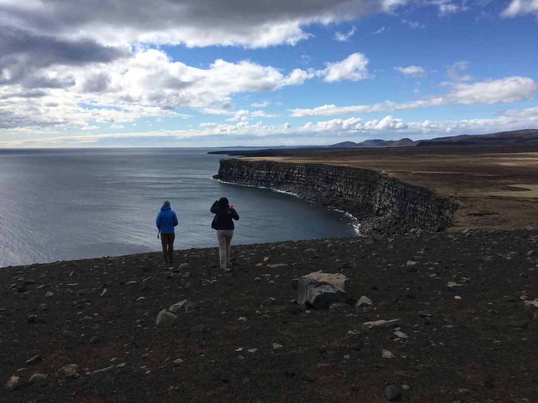
Geothermal heat, recent lava and warm ground are some of the most visible traveller-friendly results of Iceland’s plate-boundary and hotspot setting.
Geology-friendly tours and indoor experiences
Use these when travellers want more interpretation, bad-weather backup or a safe way to understand volcanoes, lava and Icelandic nature before or after the outdoor route.
Compare sightseeing and nature tours
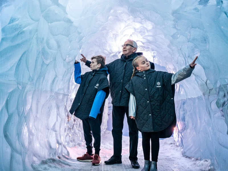
A weather-safe Reykjavik option for learning about Icelandic nature, glaciers, volcanoes and forces below the island.
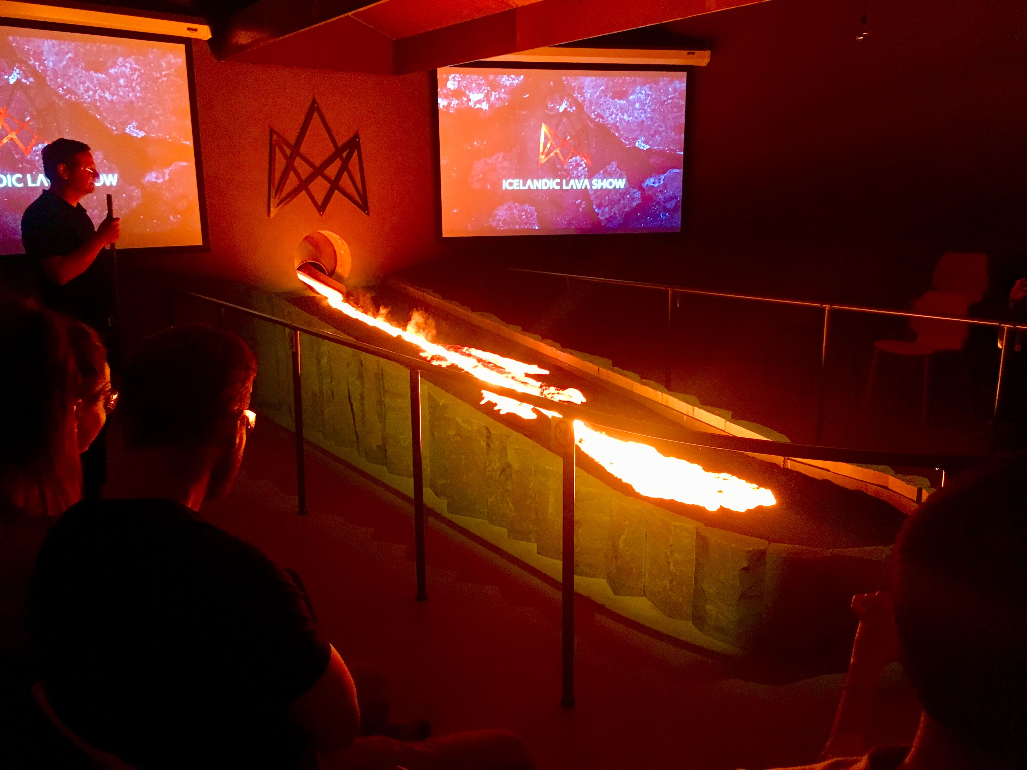
A useful indoor geology stop for travellers who want to see molten lava behaviour in a safe setting.
A more focused volcano option for travellers who want the recent Reykjanes story handled in depth.
Places and route ideas for Iceland tectonic plates
Use these linked pages to move deeper into the same geology story without making the page feel disconnected from the rest of FunIceland.

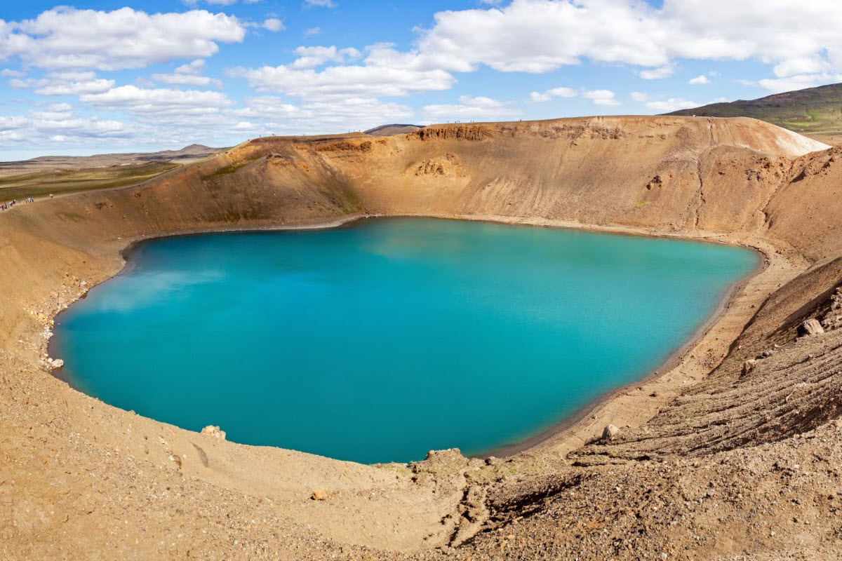

Towns and bases for tectonic plate routes
These are the most practical bases for Golden Circle, Reykjanes, Silfra and wider geology-focused travel planning.


Suggested tectonic plate itinerary ideas
Classic Golden Circle geology day
Start in Reykjavik, visit Thingvellir National Park, continue to Geysir and Gullfoss. Choose the Golden Circle Minibus Tour from Reykjavik if you want the route handled without self-driving.
Thingvellir plus Silfra activity day
Build the day around Thingvellir and book Silfra snorkeling self drive if you have a car. Choose the Golden Circle and Silfra snorkeling tour if you want transfers and the wider route in one plan.
Reykjanes plate-boundary day
Use Bridge Between Continents, Gunnuhver, Reykjanes Lighthouse, Kleifarvatn and Fagradalsfjall as the core. If access or safety conditions are uncertain, choose a guided Reykjanes volcano sites tour or a private Reykjanes Super Jeep tour.
Geology plus bathing route
Pair tectonic landscapes with hot water: Thingvellir and Laugarvatn Fontana, Reykjanes and the Blue Lagoon, or Golden Circle and Secret Lagoon through the Golden Circle, Secret Lagoon and Kerid tour.
North Iceland rift extension
If the trip continues north, use Lake Myvatn, Krafla, Hverir and Dimmuborgir to see how the rift story changes from Golden Circle scenery into volcanic lake country.
Weather-safe Reykjavik learning day
If the weather is poor, choose Perlan Wonders of Iceland or the Real Lava Experience before visiting Thingvellir or Reykjanes on a clearer day.
FAQ about tectonic plates in Iceland
What tectonic plates are in Iceland?
Iceland sits on the boundary between the North American Plate and the Eurasian Plate. The western side of the country is generally on the North American Plate, while the eastern side is generally on the Eurasian Plate.
Why is Iceland the best place to see tectonic plates?
Iceland is unusual because the Mid-Atlantic Ridge rises above sea level here. That means travellers can see rift landscapes on land at Thingvellir, visit the Bridge Between Continents on Reykjanes, and book Silfra snorkeling in a fissure linked to the plate boundary.
Where can you see the tectonic plates in Iceland?
The clearest places for travellers are Thingvellir National Park, Silfra, the Bridge Between Continents and the Reykjanes Peninsula. North Iceland areas such as Krafla and Lake Myvatn also show rift-zone volcanic landscapes.
Can you walk between tectonic plates in Iceland?
You can walk through the rift landscape at Thingvellir, especially around Almannagja. It is more accurate to think of this as walking through a plate-boundary zone rather than stepping over a single narrow line. For a guided version, choose a Golden Circle tour that gives Thingvellir enough time.
Can you touch two tectonic plates in Iceland?
The famous version of this idea is Silfra. On a guided snorkelling or diving experience, you enter the clear fissure water between the plates. Choose Silfra snorkeling self drive if you have a car, or Silfra snorkeling from Reykjavik if you want transfers included.
Is Silfra really between continents?
Yes, Silfra sits in the Thingvellir rift system between the North American and Eurasian plates. The wording can be simplified for travellers, but the experience is genuinely tied to the divergent plate boundary.
Why is Silfra water so clear?
Silfra water is famous for extreme clarity because it is cold groundwater that has filtered through lava before reaching the fissure. The result is one of Iceland’s most distinctive snorkelling and diving experiences.
How fast are the plates moving apart in Iceland?
The plates move only a few centimetres per year, roughly at the pace your fingernails grow. That is slow for a visitor standing at Thingvellir, but powerful over thousands and millions of years.
Is Iceland split in half by the tectonic plates?
In a simplified sense, yes: Iceland straddles the North American and Eurasian plates. In real landscapes, the boundary is a broad volcanic and fault zone, not a perfectly clean cut through the island.
Is Thingvellir the best place to see tectonic plates?
Thingvellir is the best first choice because it combines visible rift geology, easy Golden Circle access and Icelandic history. If you want an active experience, Silfra is stronger. If you want a shorter Reykjanes stop, choose the Bridge Between Continents.
What is the best tour for tectonic plates in Iceland?
Choose by experience:
- Golden Circle Minibus Tour from Reykjavik for the classic Thingvellir, Geysir and Gullfoss day.
- Golden Circle and Silfra Snorkeling Tour for the best land-plus-water rift experience.
- Silfra Snorkeling Self Drive if you already have a car.
- Reykjanes Volcano Sites Tour if the recent lava-field story matters most.
Can you visit tectonic plate sites from Reykjavik?
Yes. Thingvellir, Silfra and Reykjanes are all practical from Reykjavik. The easiest guided choices are Golden Circle tours, Silfra snorkeling from Reykjavik and guided Reykjanes volcano or peninsula tours.
What is the Bridge Between Continents?
The Bridge Between Continents is a short footbridge on the Reykjanes Peninsula spanning a fissure-like sandy area between the North American and Eurasian plates. It is a simple, photogenic stop, especially before or after Keflavik airport.
Is the Bridge Between Continents worth visiting?
It is worth visiting if you are already on Reykjanes or want a short, easy geology stop. It is not as rich as Thingvellir or Silfra, but it explains the plate-boundary idea quickly.
How do tectonic plates cause volcanoes in Iceland?
As the plates pull apart, the crust can thin and crack, allowing magma to rise. Iceland’s hotspot adds more heat and magma supply, which is why the country has so many active volcanic systems, including Reykjanes, Hekla, Katla and the volcanic zones under Vatnajokull.
Do tectonic plates cause earthquakes in Iceland?
Yes. Many Icelandic earthquakes are linked to plate movement, faulting and volcanic systems. Most are small, but earthquake activity is an important sign of how active the island still is.
Are hot springs connected to tectonic plates?
Yes. Iceland’s geothermal activity is strongly linked to its plate-boundary and hotspot setting. Heat rises close to the surface, warming groundwater and creating hot springs, geothermal fields, natural pools and geothermal energy areas such as Krafla and Geysir.
Is Iceland still growing?
Geologically, yes. New volcanic material is still added during eruptions, and the plate boundary continues to spread. Erosion, ice, rivers and the ocean also reshape the land at the same time.
Is it safe to visit volcanic areas in Iceland?
Most standard visitor areas are safe when open, but active volcanic areas can change quickly. Follow local closures, weather alerts and operator guidance. Use guided tours when visiting recent lava fields or areas with changing access.
Do you need a guide to see Iceland’s tectonic plates?
No for simple stops such as Thingvellir paths or the Bridge Between Continents. A guide is strongly recommended for Silfra, volcanic hiking, recent lava areas and any route where safety, weather or interpretation matters. Compare Golden Circle tours and volcano tours if you want the day handled.
What should you combine with Thingvellir?
The classic route combines Thingvellir with Geysir and Gullfoss. Add Silfra if you want a guided activity, or add Laugarvatn, Kerid and hot springs if you want a slower day.
What should you combine with Reykjanes tectonic sites?
Combine the Bridge Between Continents with Gunnuhver, Reykjanes Lighthouse, Kleifarvatn, Fagradalsfjall and the Blue Lagoon. Guided Reykjanes tours are best when volcanic access and conditions matter.
What is the best season for tectonic plate tours?
Thingvellir and Reykjanes can be visited year round in suitable weather. Summer gives longer daylight, while winter can make roads and paths icy. Silfra runs as a guided activity, but availability, conditions and operator rules always matter.
How long do you need for a tectonic plate route?
Allow 1 to 3 hours for Thingvellir alone, half a day if adding Silfra, and a full day for a complete Golden Circle or Reykjanes geology route. North Iceland rift-zone areas such as Myvatn and Krafla belong in a separate northern itinerary.
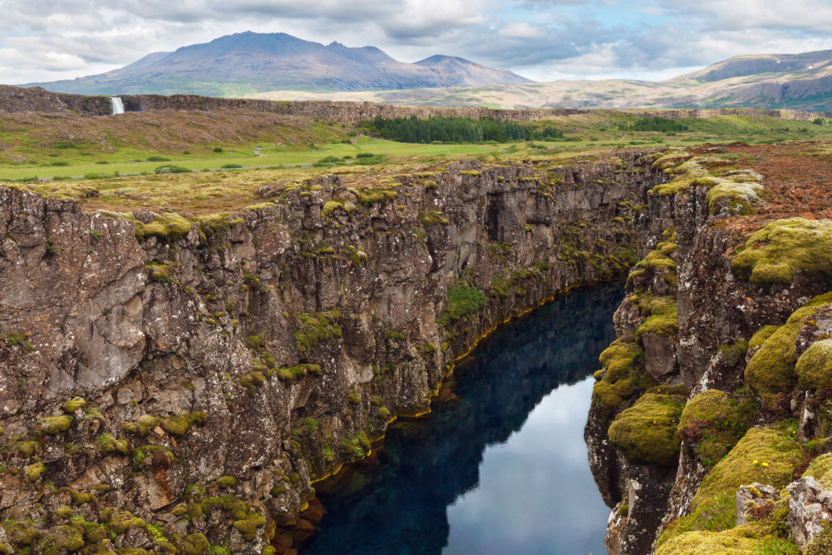
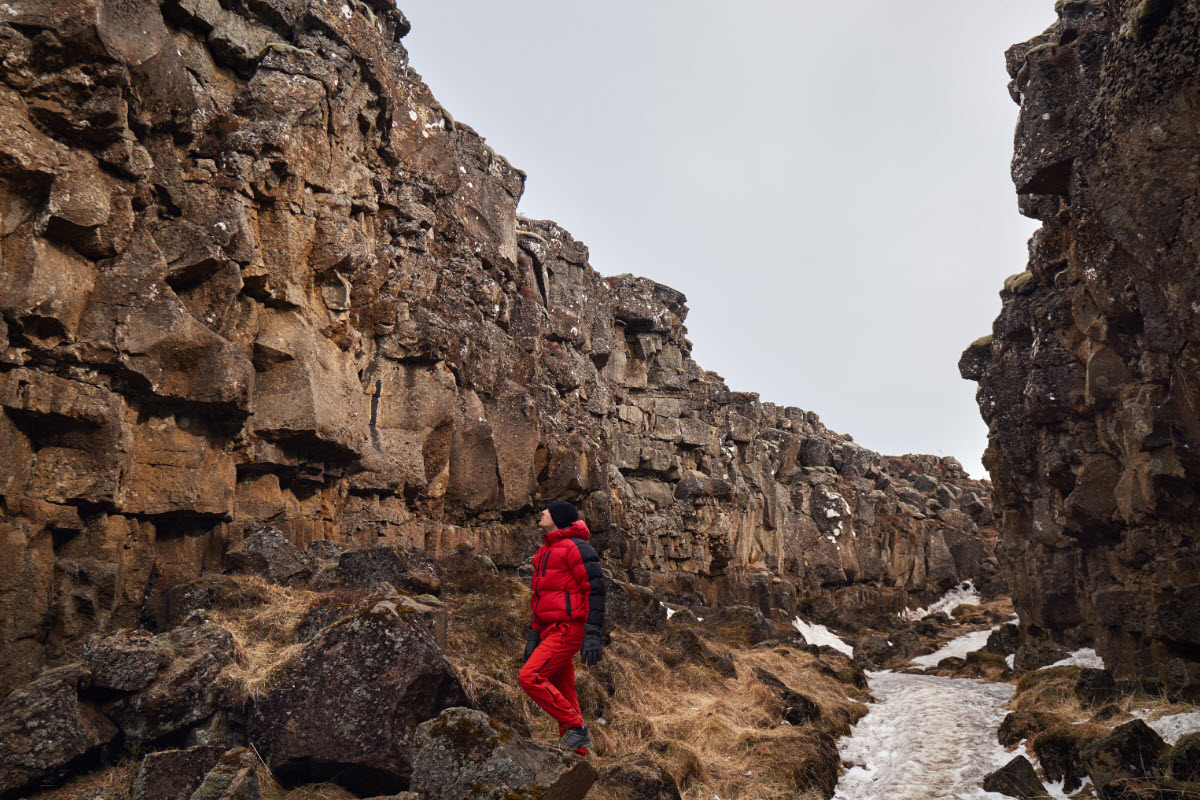
The rift valley in Thingvellir National Park Iceland
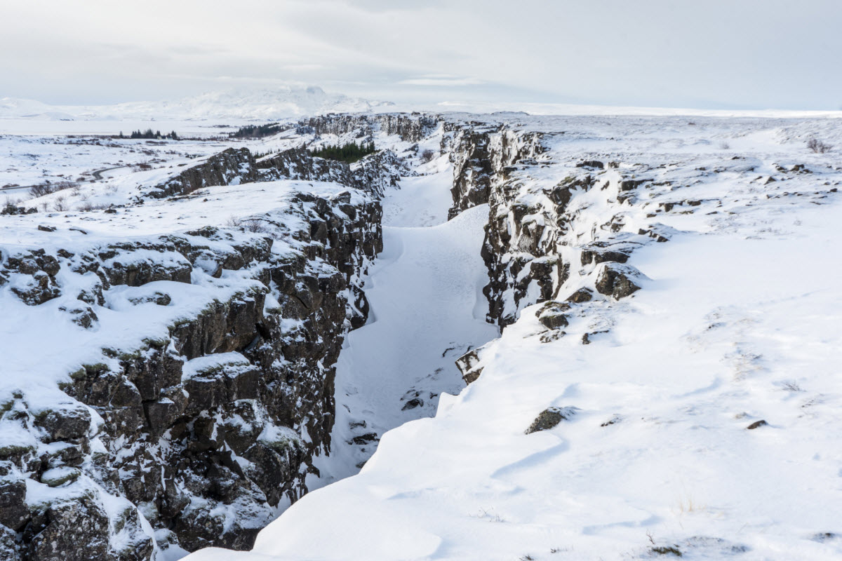
At Thingvallir National Park it is possible to see where the Eurasian and North American tectonic plates meet
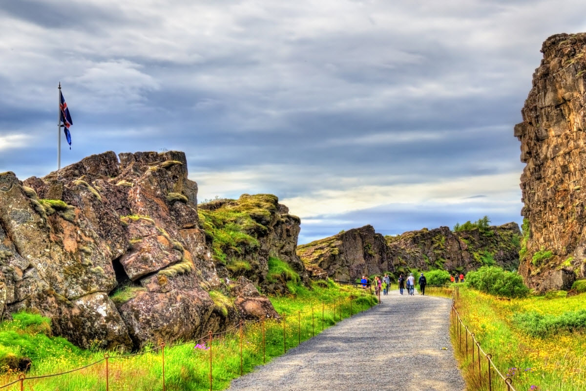
The cliffs where the tectonic plates meet in Thingvellir National Park are very beautiful
Lava formation at Thingvellir National Park
Where the tectonic plates meet at Thingvellir National Park during winter in Iceland
Thingvellir National Park Iceland